King Salmon Drone Operations.
Providing salmon run estuary mapping, local lodge rooftop insulation checks, and local municipal infrastructure plats.
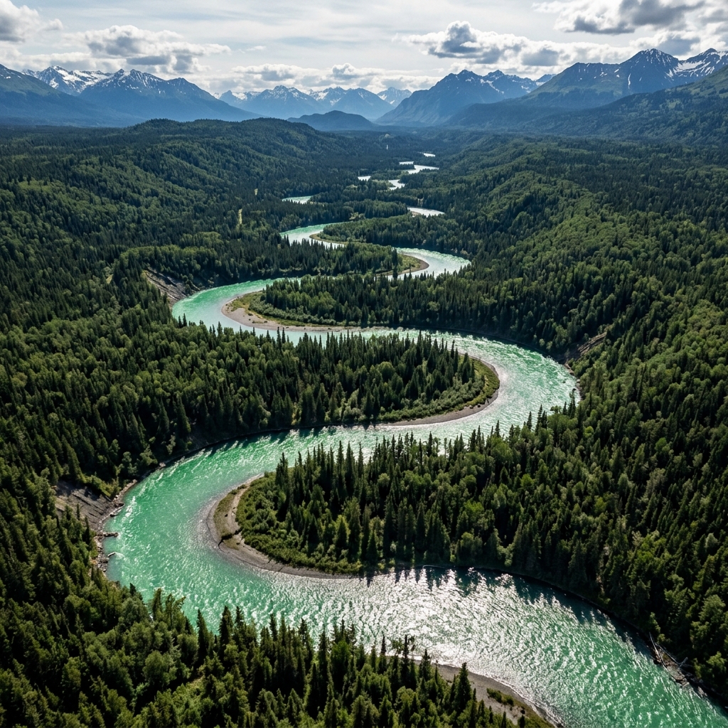 AERIAL VIEW // KING SALMON
 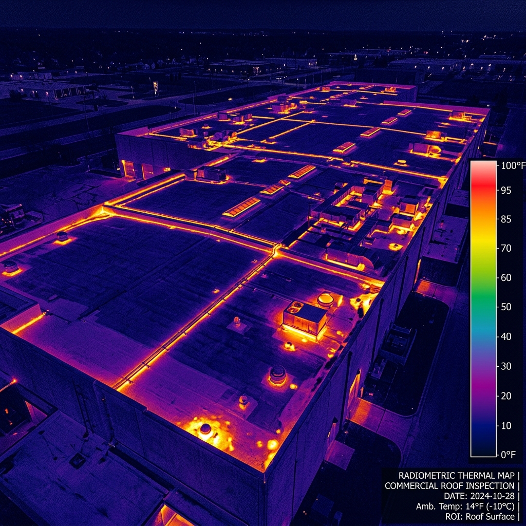 DATA DELIVERABLE // KING SALMON
 Location Data
Top Industries Served
- Environmental Estuary
- Lodge Scans
- Municipal Plats
Core Deliverables
- Orthomosaic Maps (3cm/px)
- LiDAR Terrain Profiles & DTMs
- Thermal Radiometric Scans
- 3D Point Clouds & Meshes
- 4K–8K Cinematic Media
- PDF Inspection Reports
- GIS / CAD-Ready Exports
Local Context
Why King Salmon missions require specialized expertise.
Operating commercial UAS in King Salmon and the broader Kodiak & Aleutians region demands experience with local weather patterns, terrain challenges, and regulatory nuances specific to Alaska's Class B/C/D airspace sectors. Our pilots have flown hundreds of missions in conditions that ground standard commercial operators.
Every King Salmon project begins with a custom site survey that accounts for local magnetic declination, wind corridor timing from mountain passes, and coordination with ATC when operating near controlled fields. This is not extra — it's standard for us.
King Salmon FAQ
01 Do you map Katmai bear areas?
+
Do you map Katmai bear areas?
Katmai Park requires coordination. We handle permissions for environmental research mapping.
02 What is your turnaround time for deliverables?
+
What is your turnaround time for deliverables?
Standard deliverables (imagery, orthomosaics, inspection reports) are ready within 5 business days of flight. Rush 48-hour delivery is available for an additional fee.
Also Serving Nearby
Need a flight booked in King Salmon?
We specialize in complex, high-precision payloads and remote-site deployments across Kodiak & Aleutians Alaska.
COORD: 58.6853° N, 156.6581° W · FAA PART 107 COMPLIANT