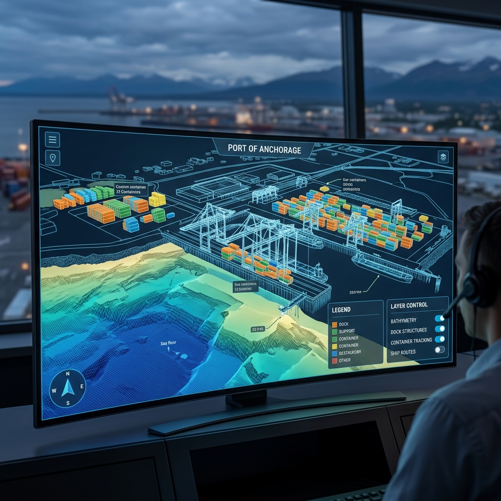
1.2 cm/px GSD
61.2422° N, 149.8893° W
Port of Anchorage Twin
dataHigh-density 3D photogrammetric wireframe mesh of the main shipping terminal structures.
PAYLOAD: DJI M350 RTK + Zenmuse P1ANALYSIS →
Browse our active project database containing 75 high-resolution deliverables, raw inspection logs, and terrain maps. Click any log entry to examine coordinates, telemetry details, and sample data.
High-density 3D photogrammetric wireframe mesh of the main shipping terminal structures.
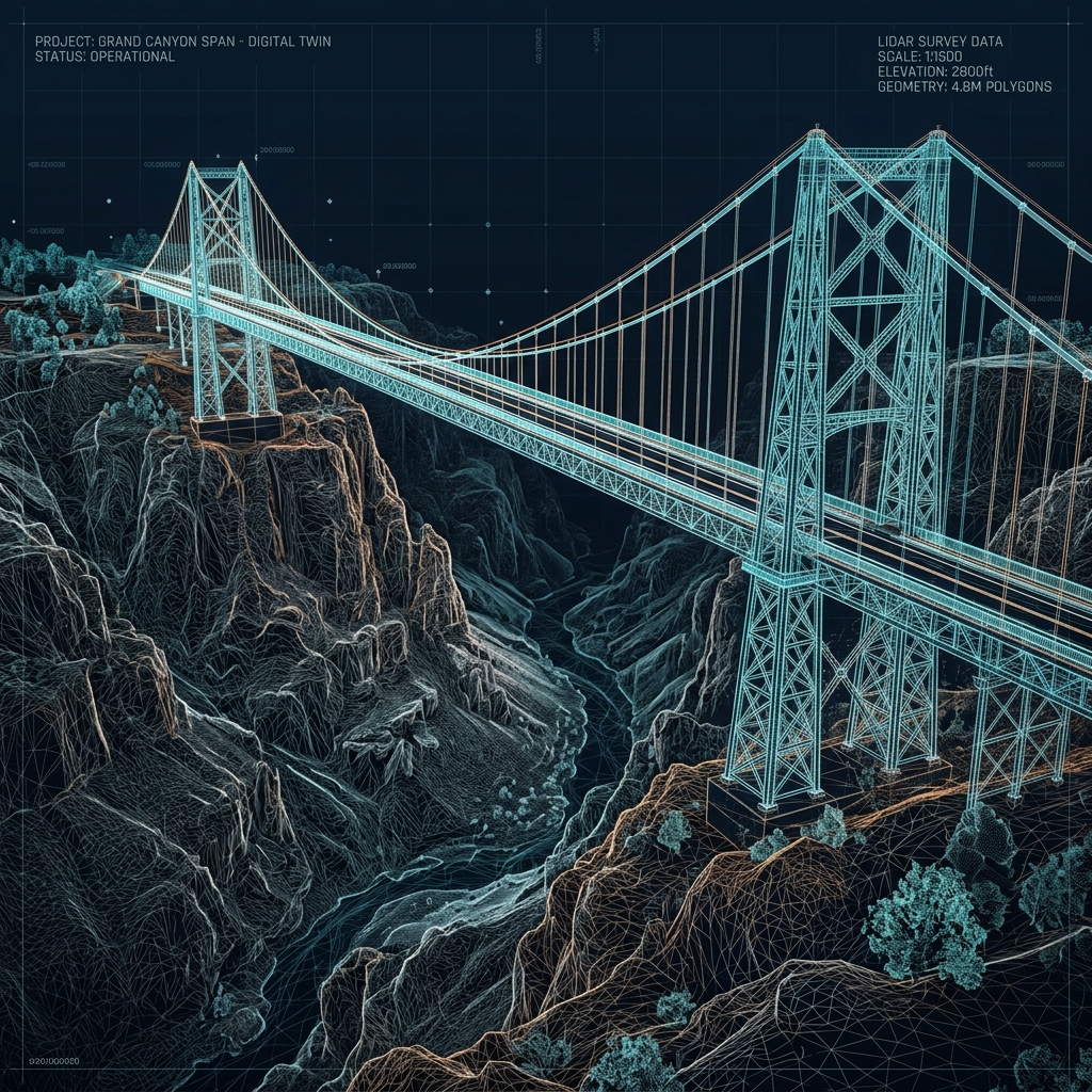
Classified point cloud showing structural members, steel truss geometry, and abutments.
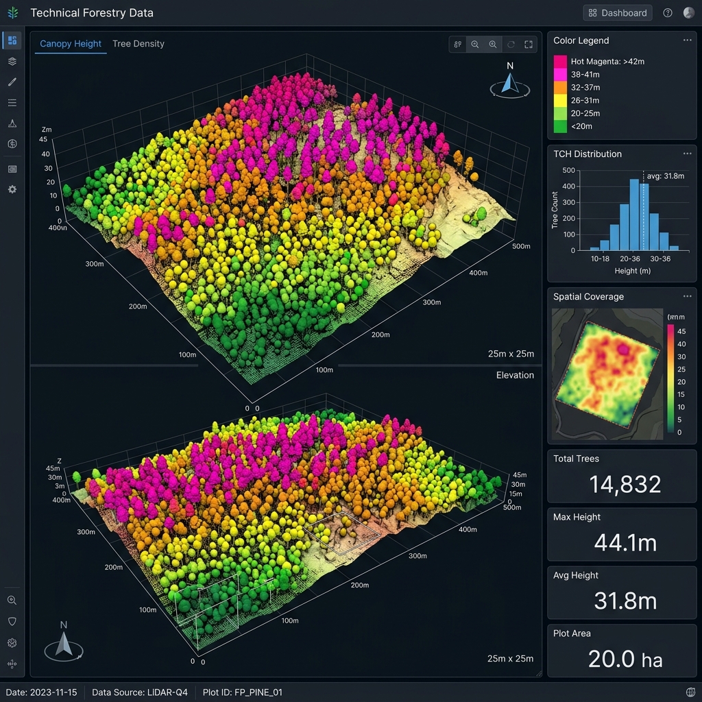
Canopy Height Model (CHM) showing absolute tree height metrics and forest density gradients.
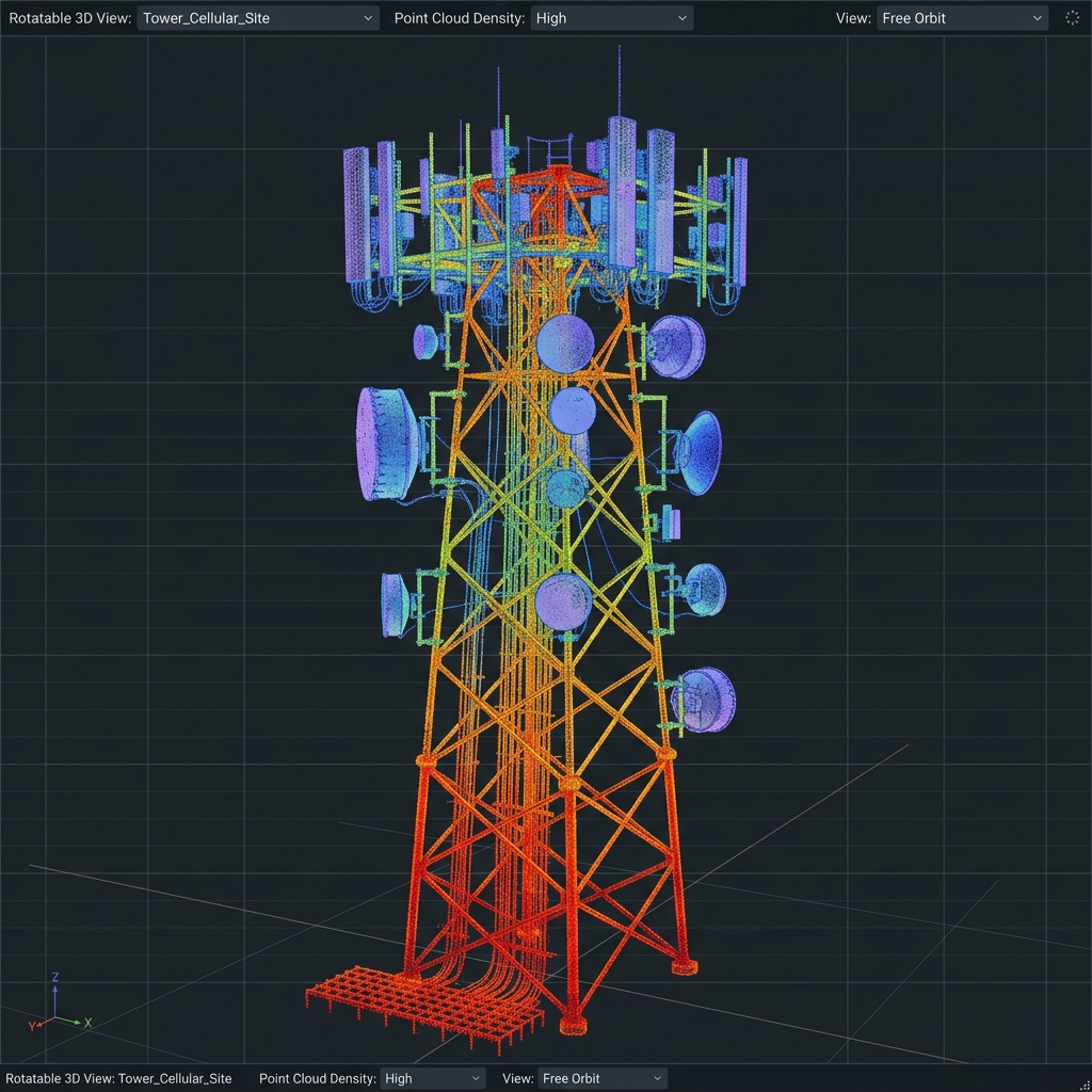
Dense 3D point cloud scan of a remote communication tower, showing antenna brackets and cables.
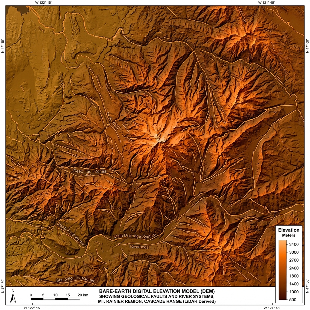
Ground-filtered elevation map showing hidden slope pathways under dense forest cover.
Slope angle analysis overlay highlighting active landslide risk zones near access roads.
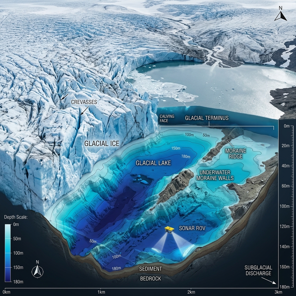
Combined bathymetric sonar mesh and aerial contours tracking sub-surface lake depth.
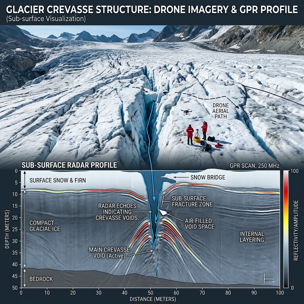
Sub-surface ground-penetrating radar profiling mapping crevasse thickness under snow bridging.

Coastal erosion comparison map tracking beach gravel spit retreat after seasonal storm events.
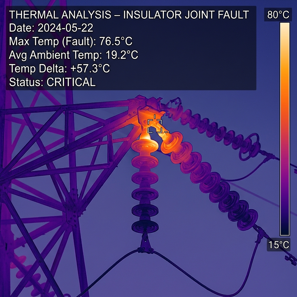
Radiometric thermal profile identifying high-resistance hotspot connections on utility poles.
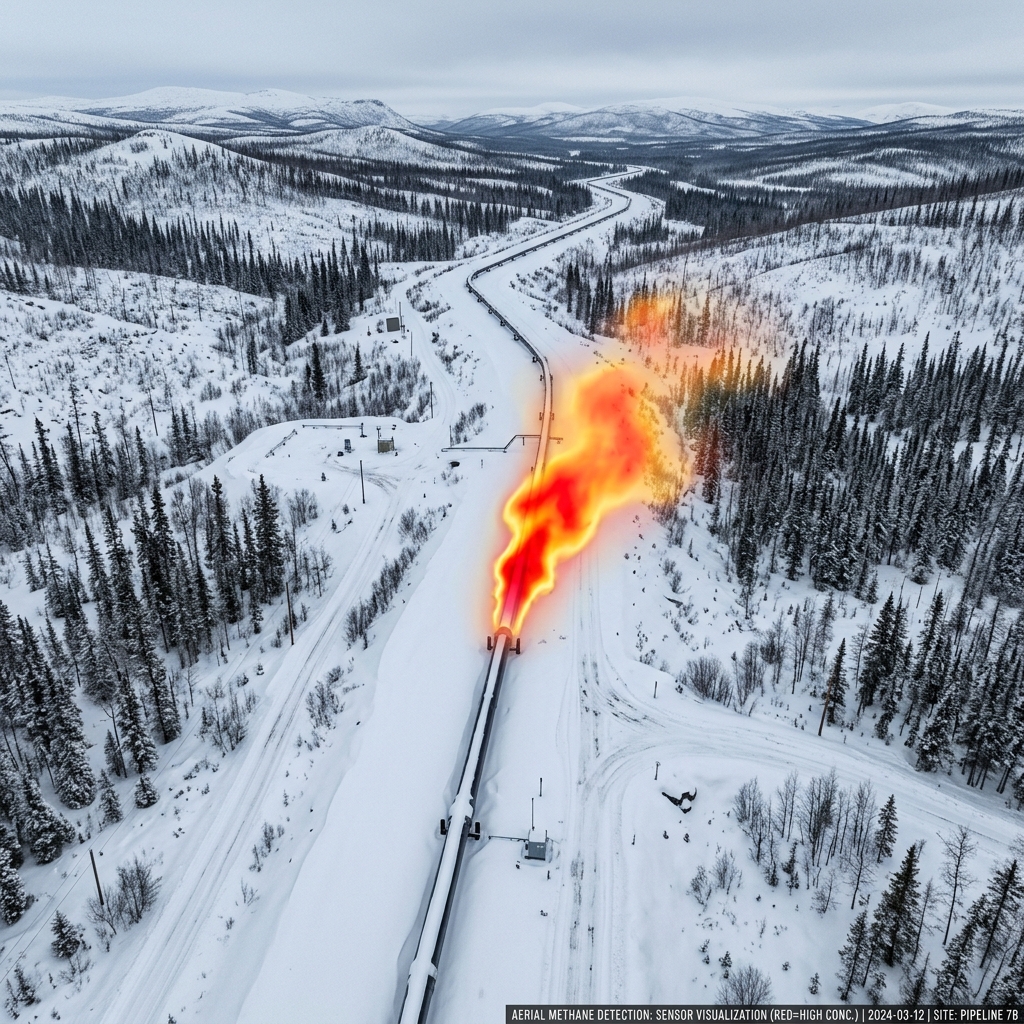
Georeferenced gas concentration overlay showing a pipeline weld leak hotspot in real-time.
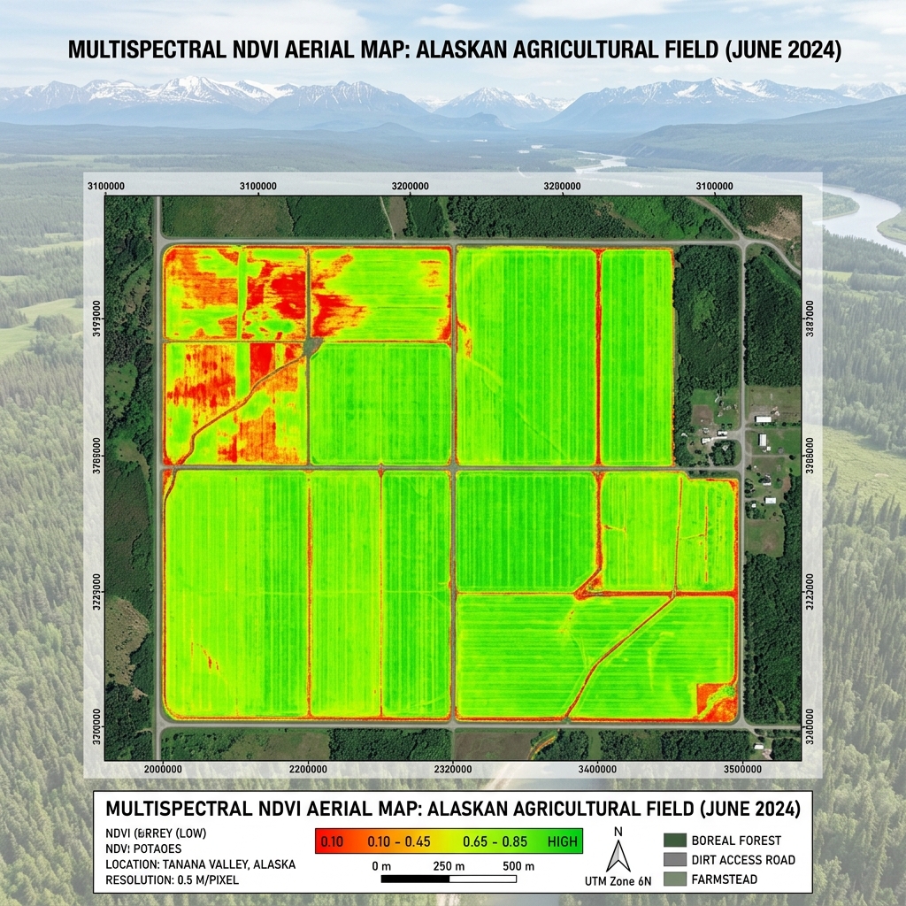
Normalized Difference Vegetation Index showing exact crop stress variations across active fields.
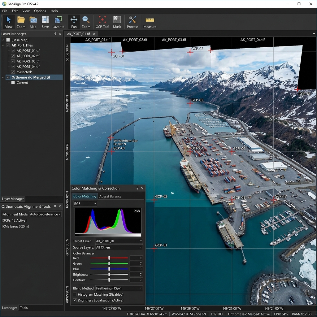
High-resolution orthomosaic map utilized for construction progress tracking and measurement.
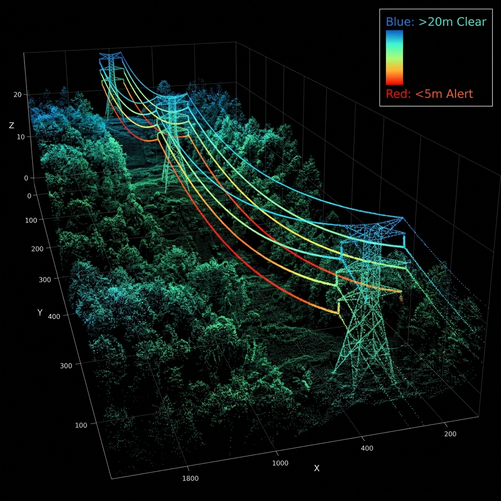
LiDAR clearance metrics measuring line sag and vegetation safety zone margins.
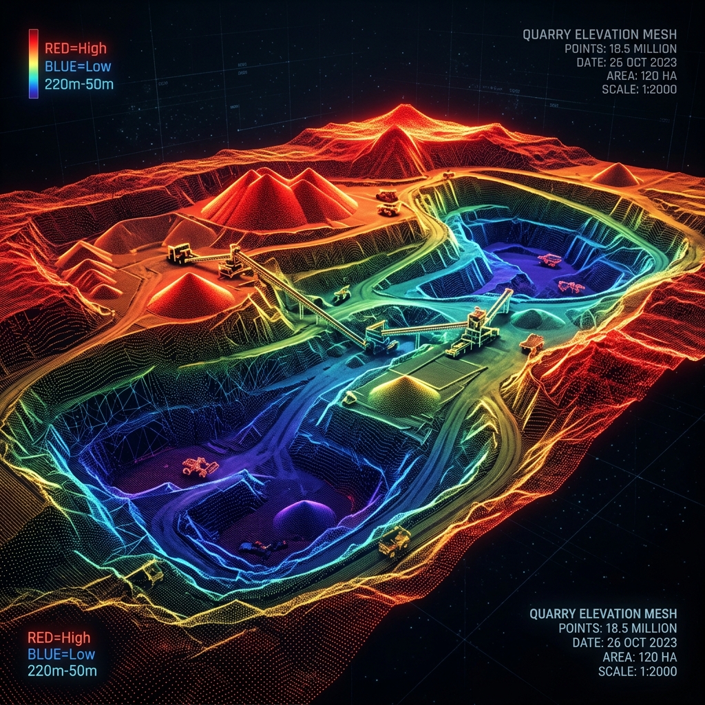
Centimeter-accurate 3D point cloud of active open-pit gravel extraction operations.
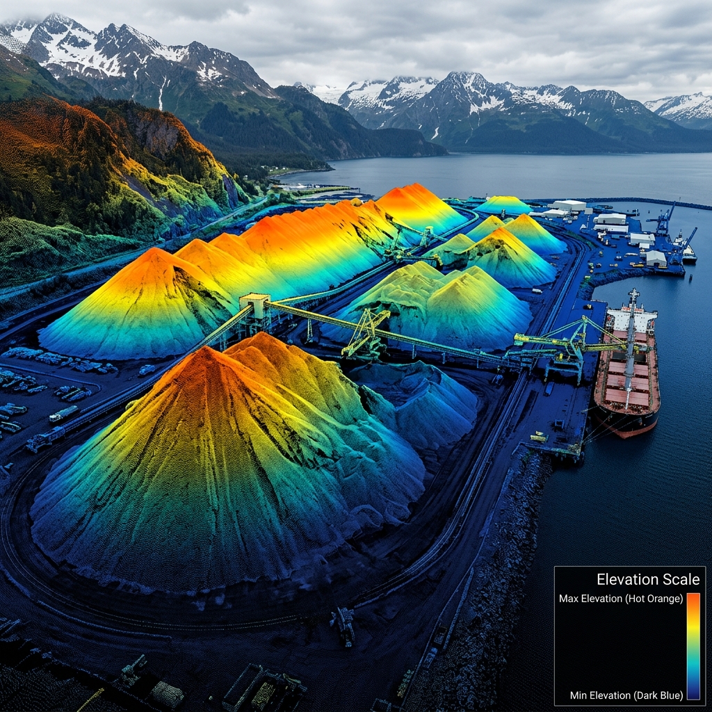
Stockpile point cloud showing base plane calculation outlines for bulk export coal.
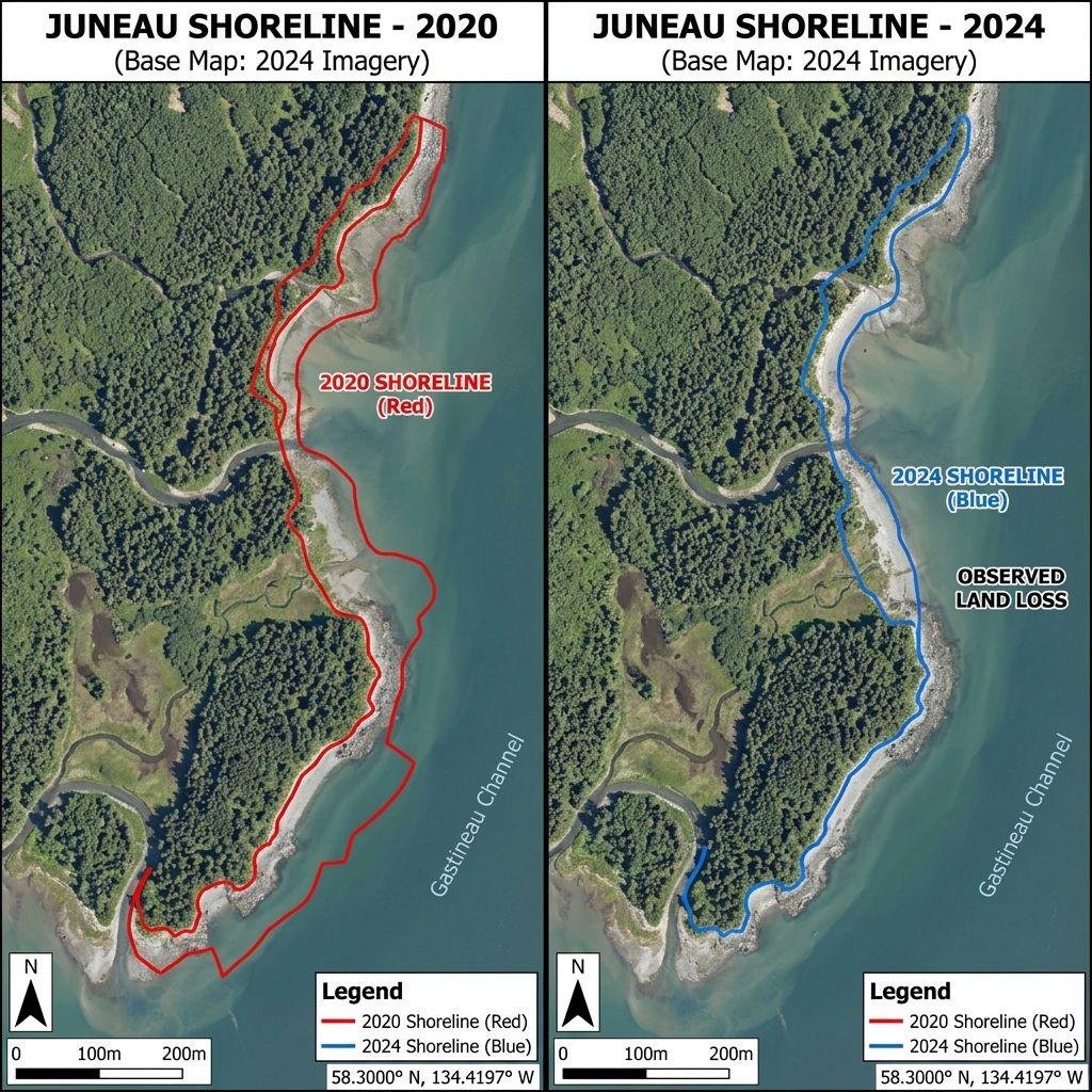
High-resolution topography maps tracking coastal erosion and gravel spit migration.
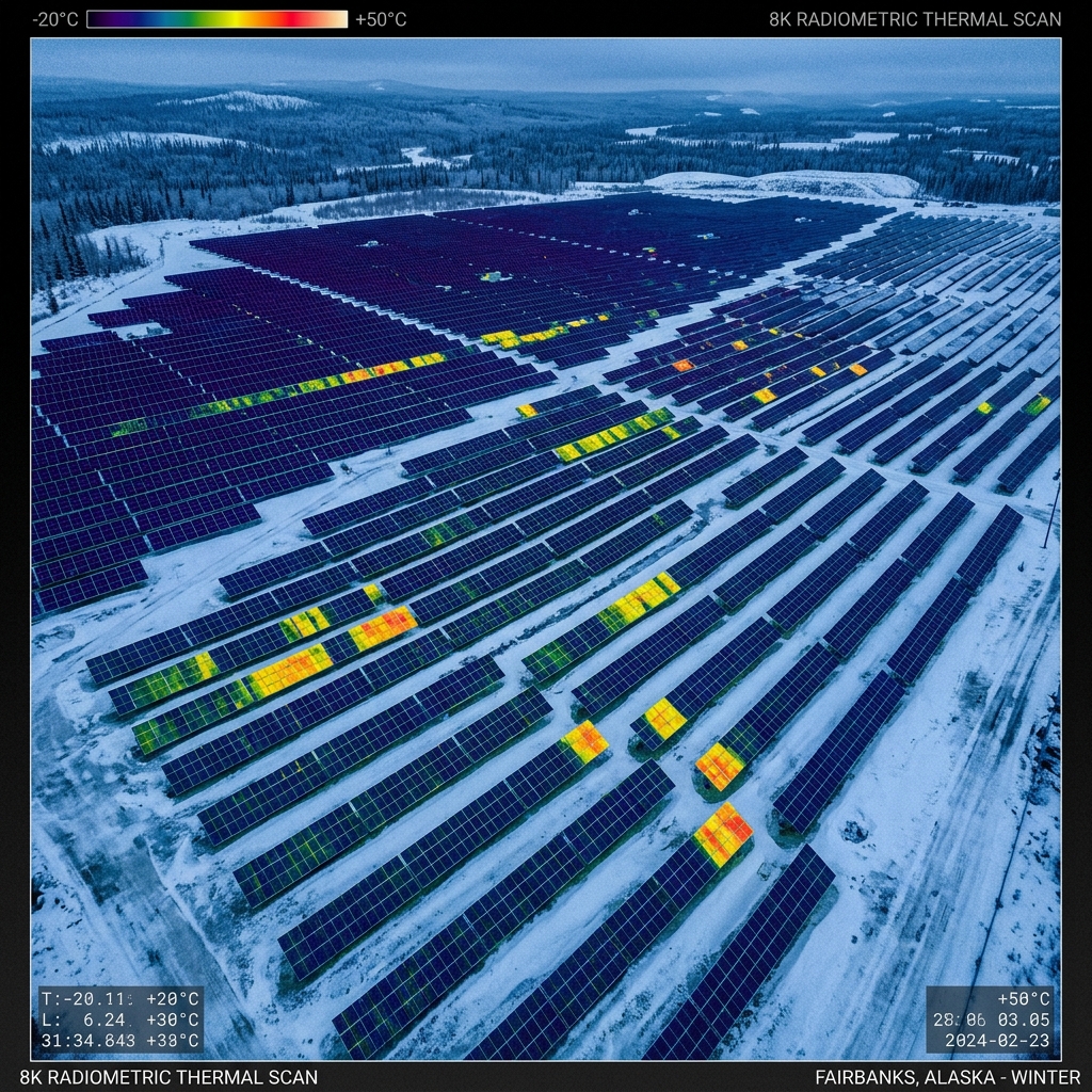
Thermal inspection highlighting specific panel defects and bypass diode failures.
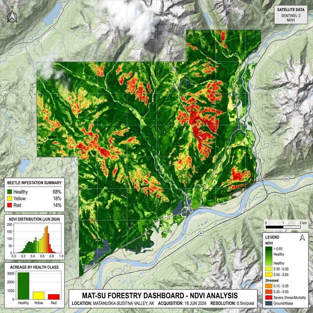
Multispectral canopy map tracking early-stage beetle infestation stress in spruce trees.
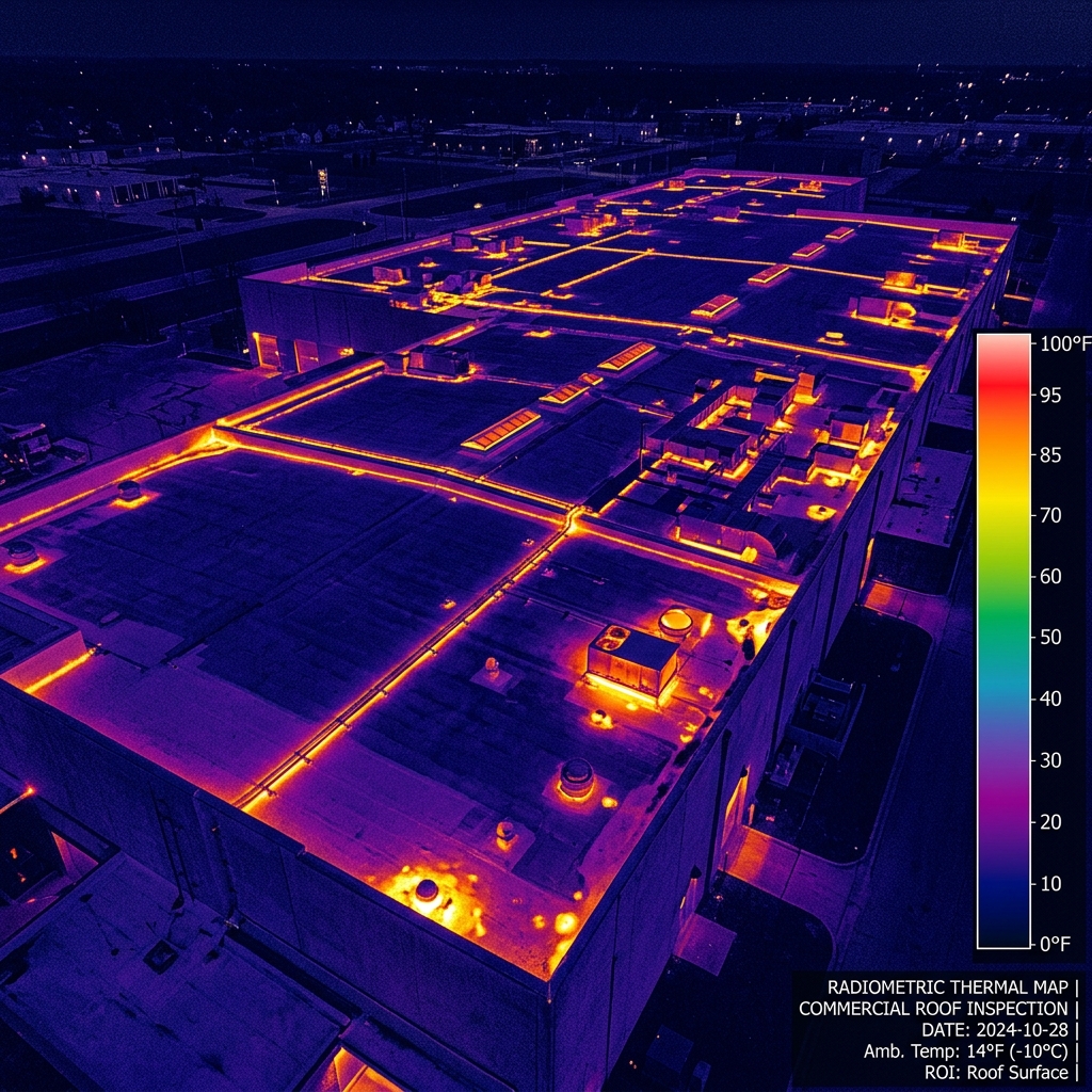
Radiometric thermal map detailing sub-membrane moisture intrusion pockets at dusk.
Topographic map overlay showing 1-foot contour intervals ready for civil engineering imports.
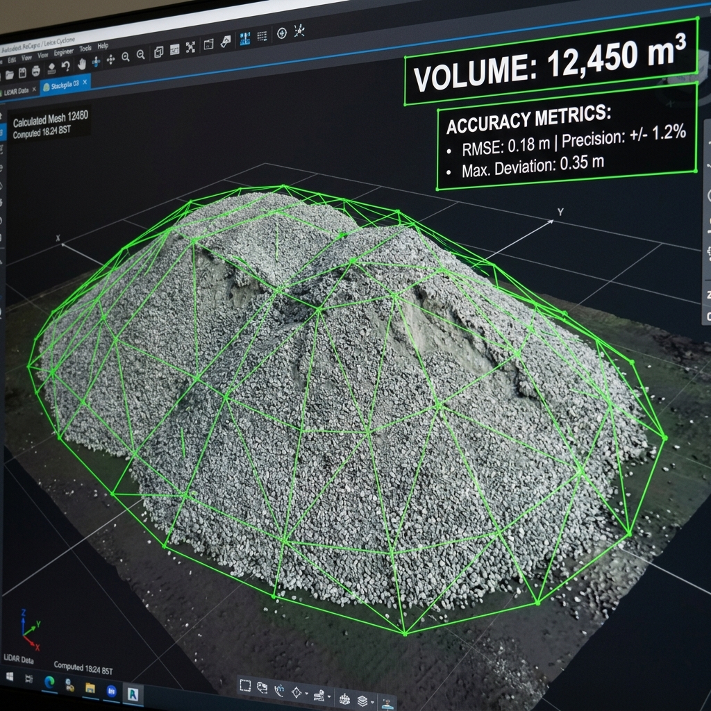
3D mesh modeling detailing volume, fill, and cut calculations for active material inventory.
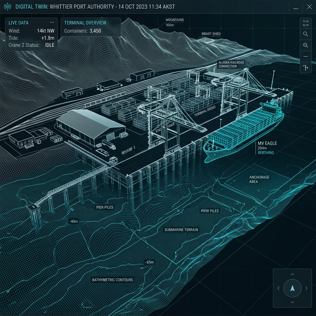
Textured reality capture model of container terminal docks and rail lines.
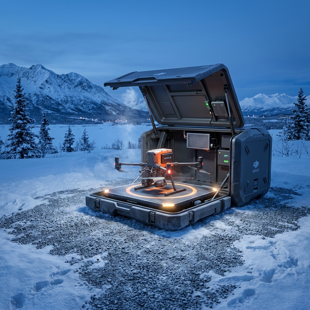
Self-contained automated drone station operating under heavy winter snow cover.
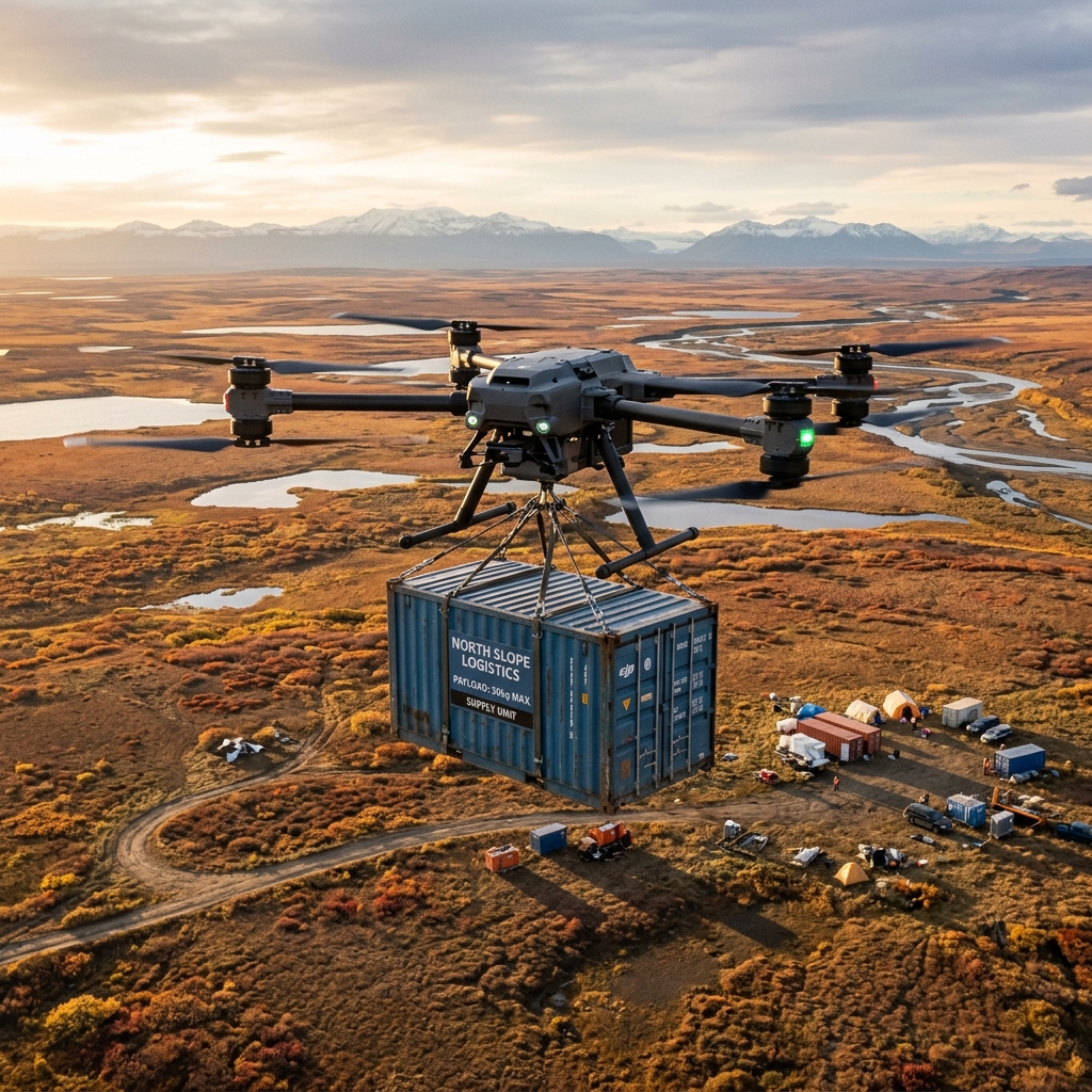
Heavy-lift cargo drone delivering emergency survival supplies across remote winter terrain.
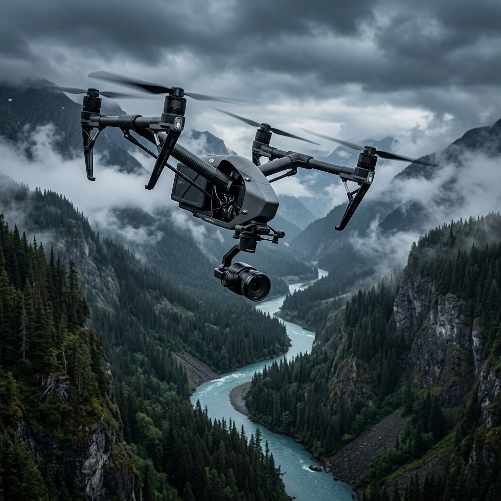
Cinema drone preparing for high-speed tracking shots along deep river valley gorges.

Rugged utility drone flying through active mountain precipitation and wind.
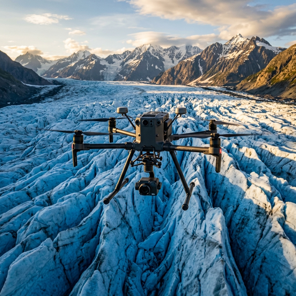
Enterprise flagship platform scanning ice crevasse walls with LiDAR.
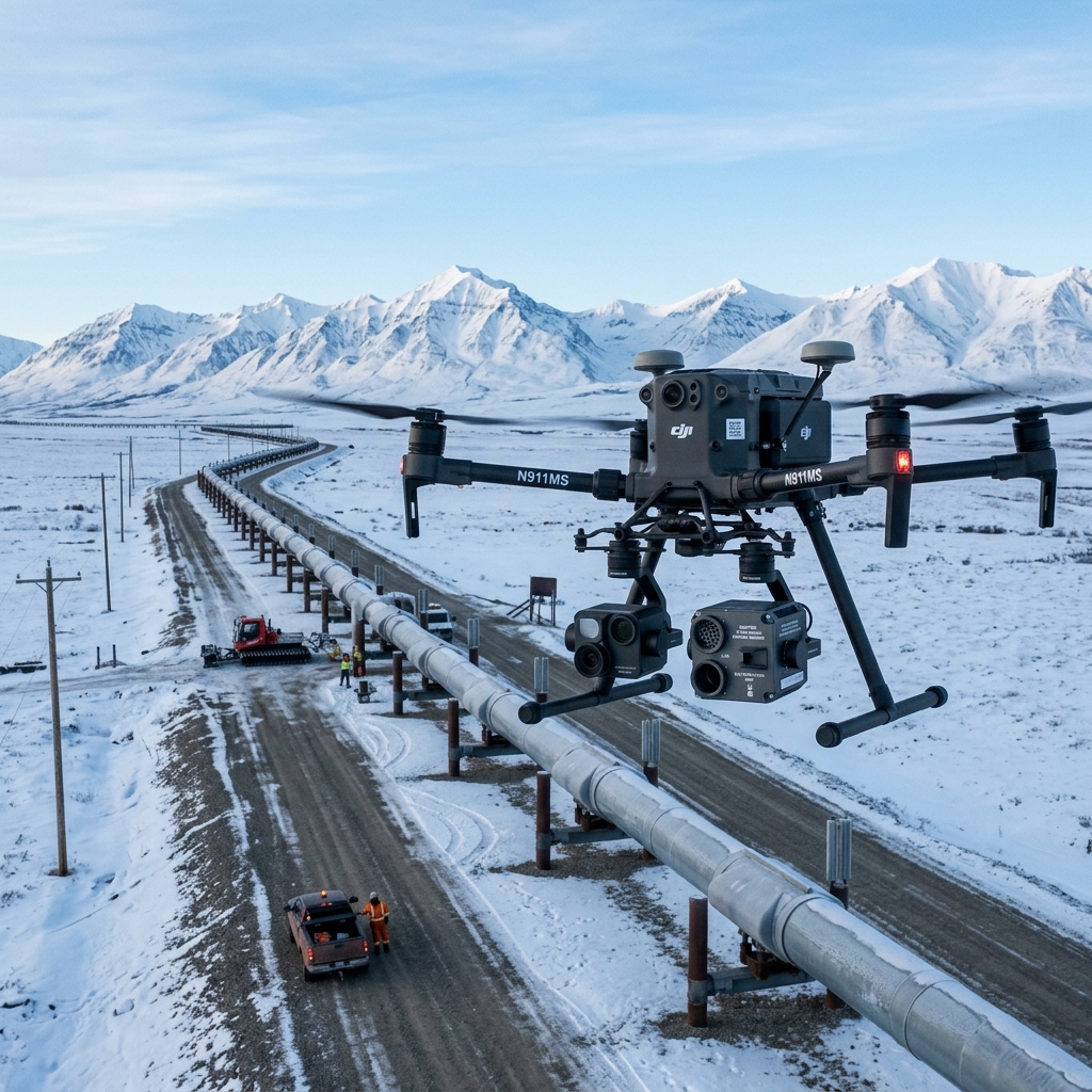
Enterprise drone equipped with laser absorption spectrometer for pipeline leak checking.
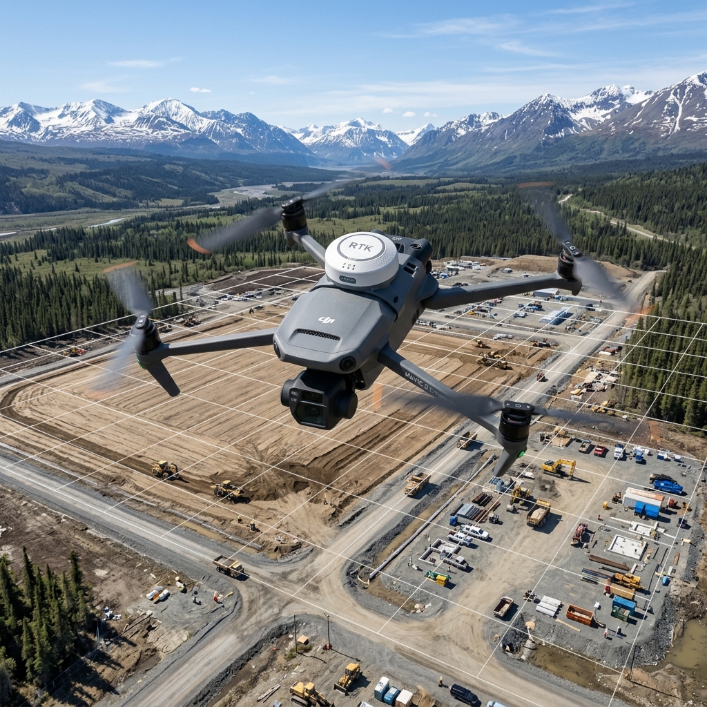
Compact mapping drone preparing for high-overlap automated survey paths.
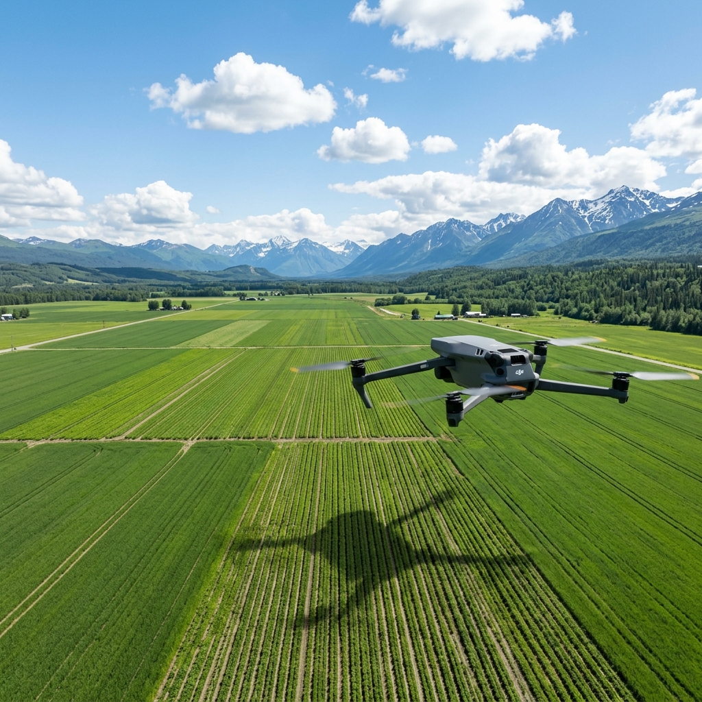
Agricultural drone mapping vegetation health indices over green field rows.
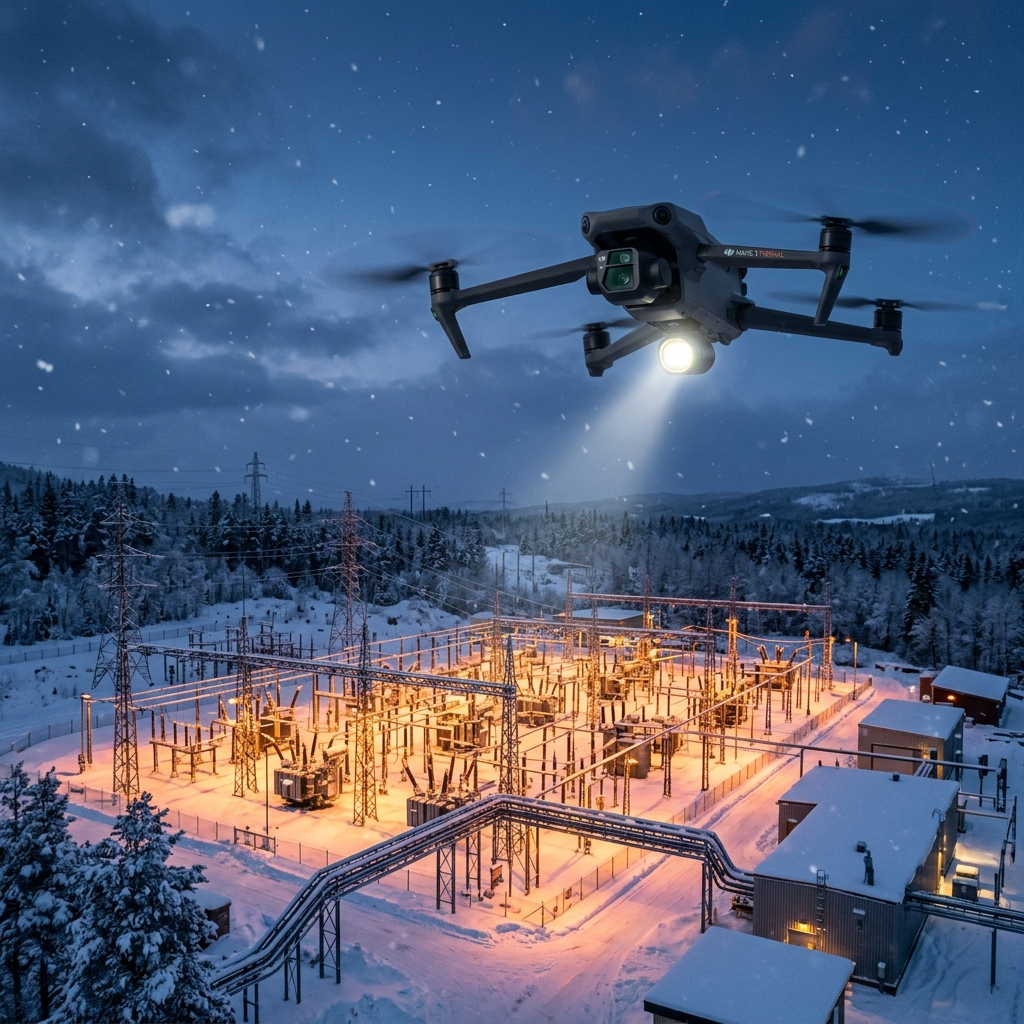
Thermal drone launching for night inspection mission under complete darkness.
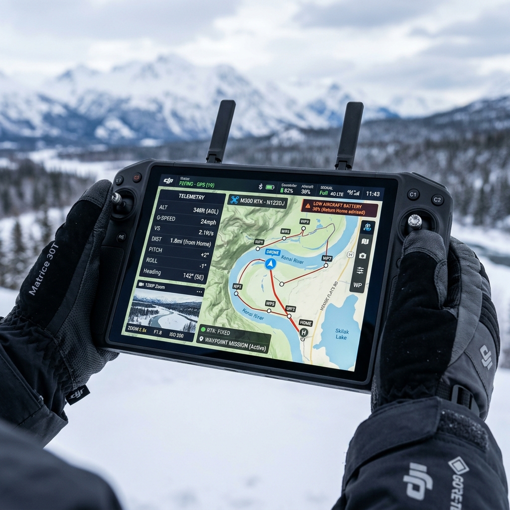
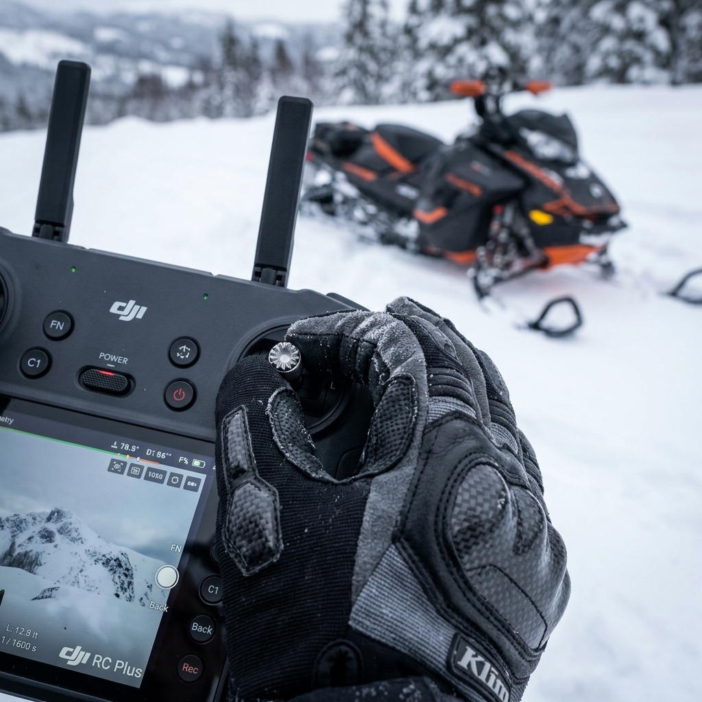
High-brightness flight controller screen showing active telemetry and map overlay.
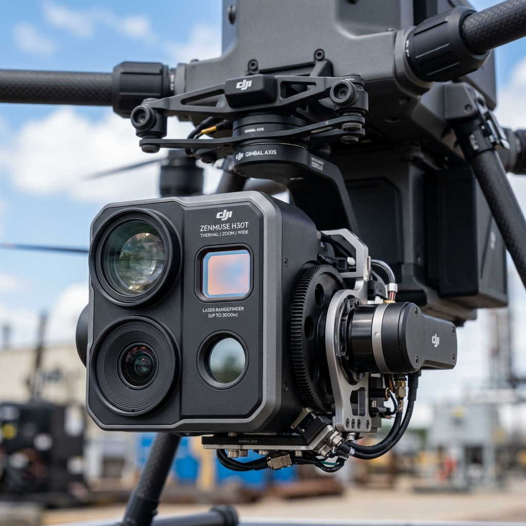
Close-up of the multi-sensor inspection payload featuring zoom, wide, thermal, and rangefinder.
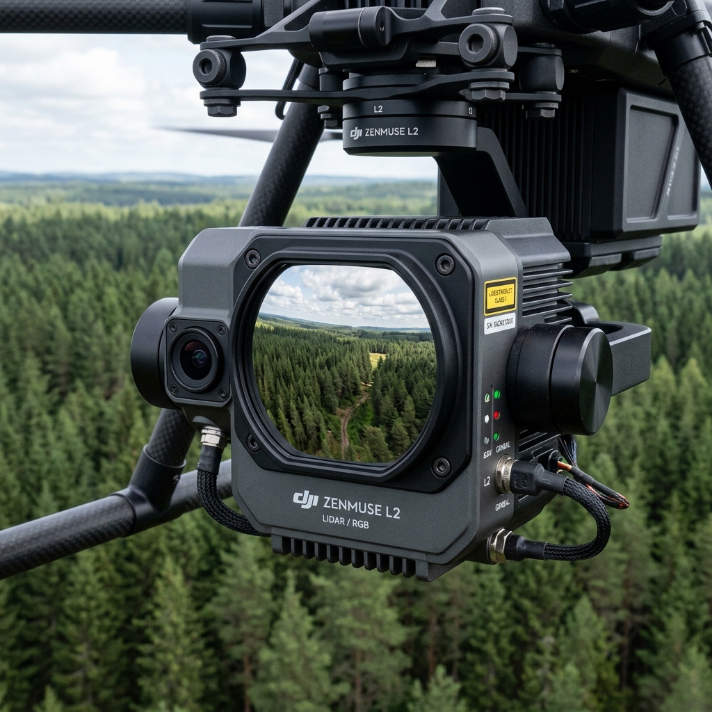
High-precision laser scanner payload showing the optical aperture and IMU casing.

Drone airframe operating under low-visibility, high-humidity arctic fog conditions.
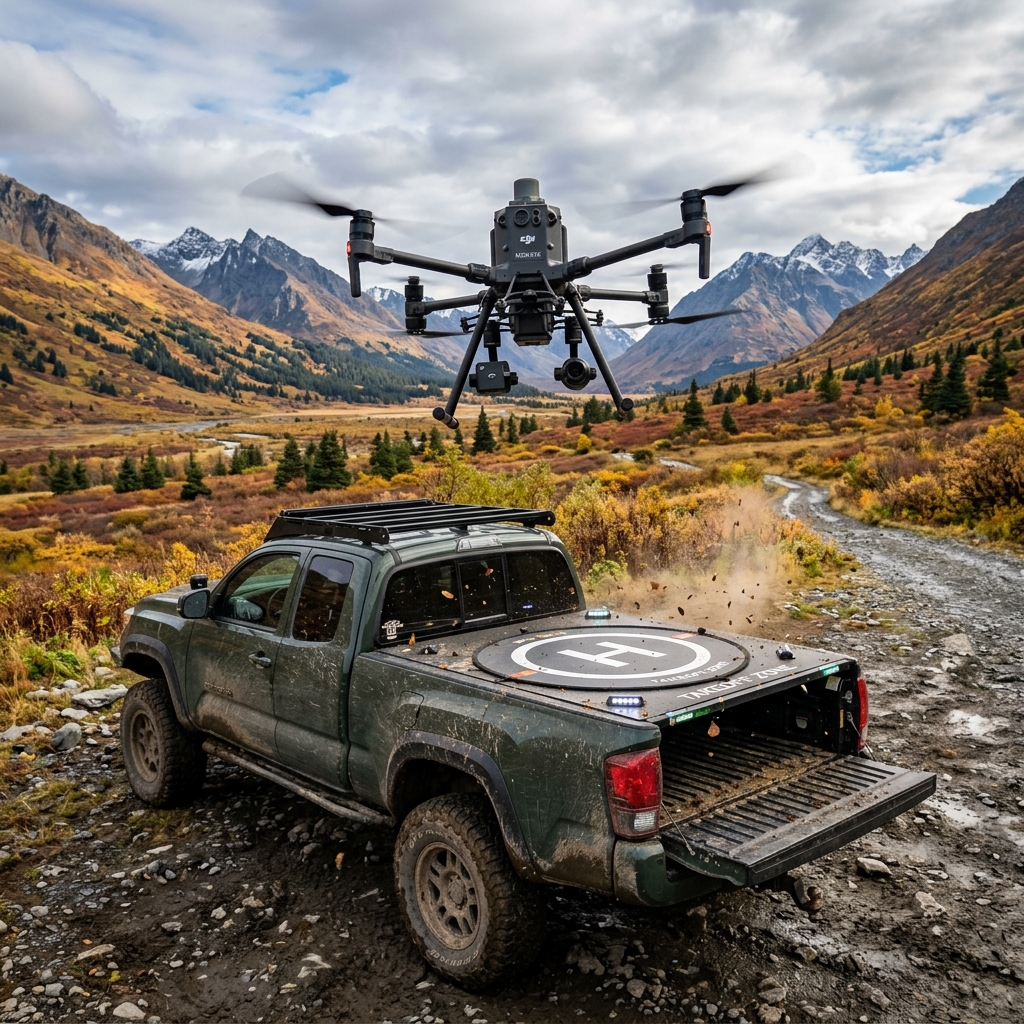
Custom modified 4x4 rig with roof launch pad and heated battery charging bays.
Drone taking off from harbor dock during early morning mist.
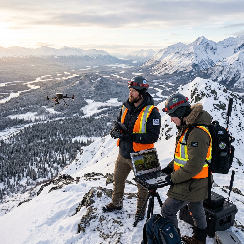
FAA Part 107 pilots operating high-altitude utility mapping scan from ridge.
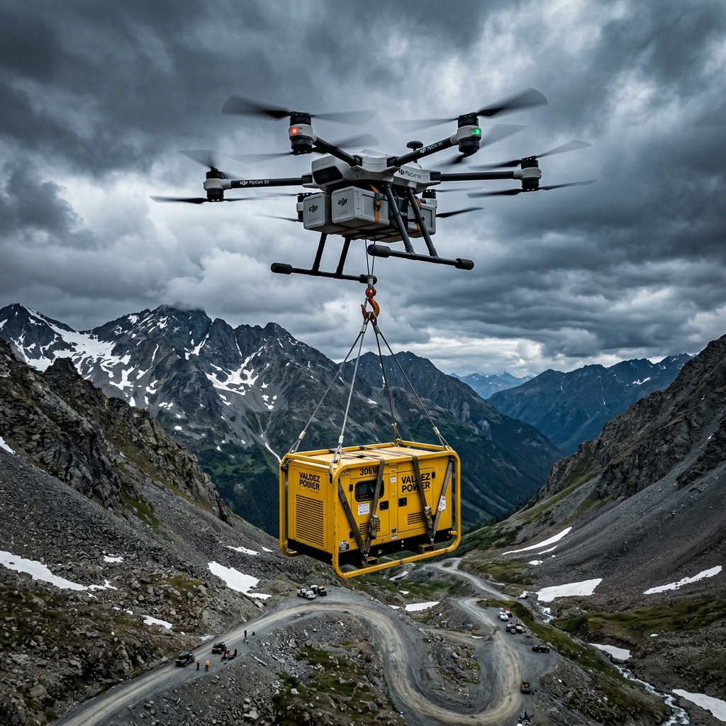
FlyCart cargo drone parked next to gas generator during remote supply run.

Custom built close-shield FPV drone scanning narrow glacier cave tunnels.
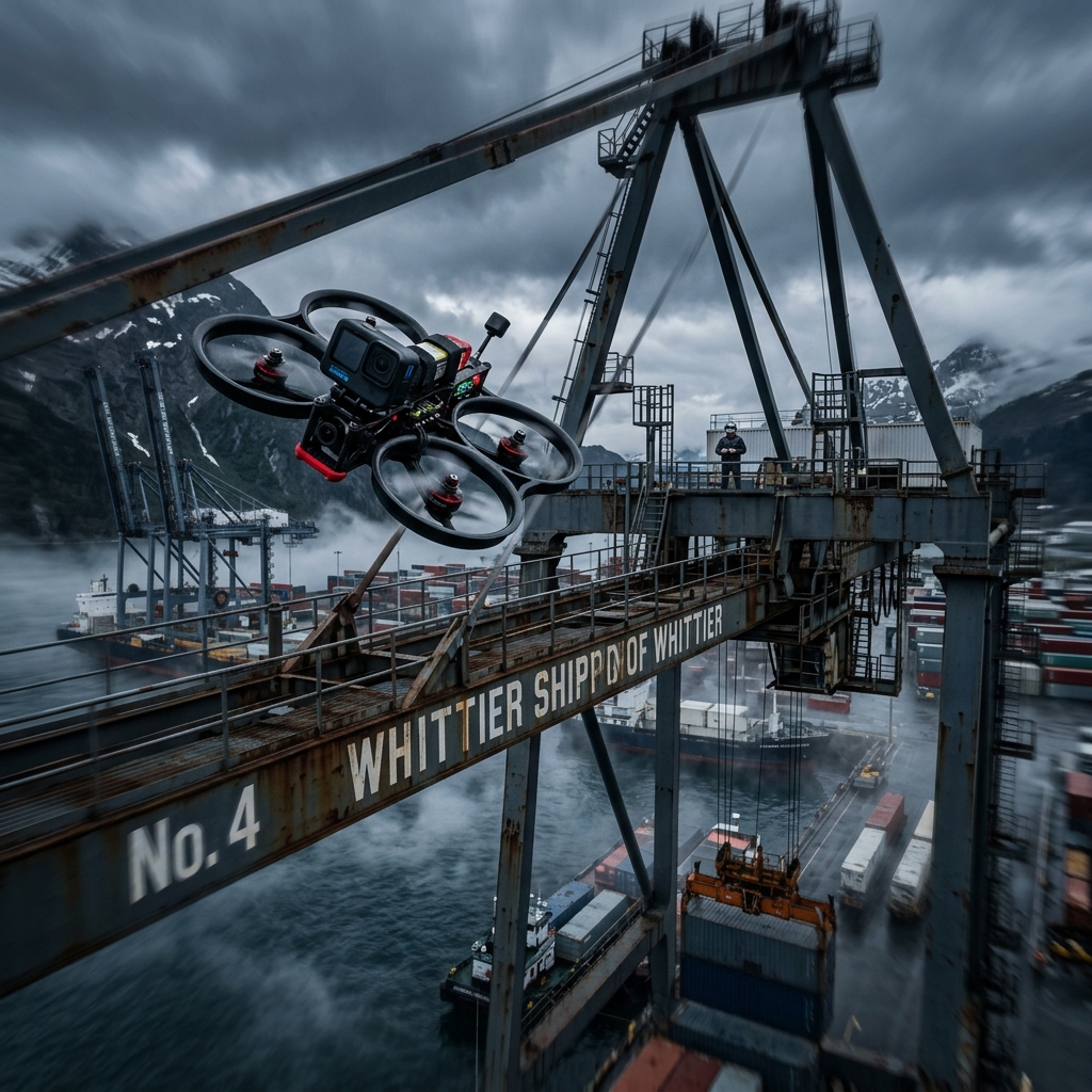
Compact visual drone scanning narrow structural spaces beneath container docks.
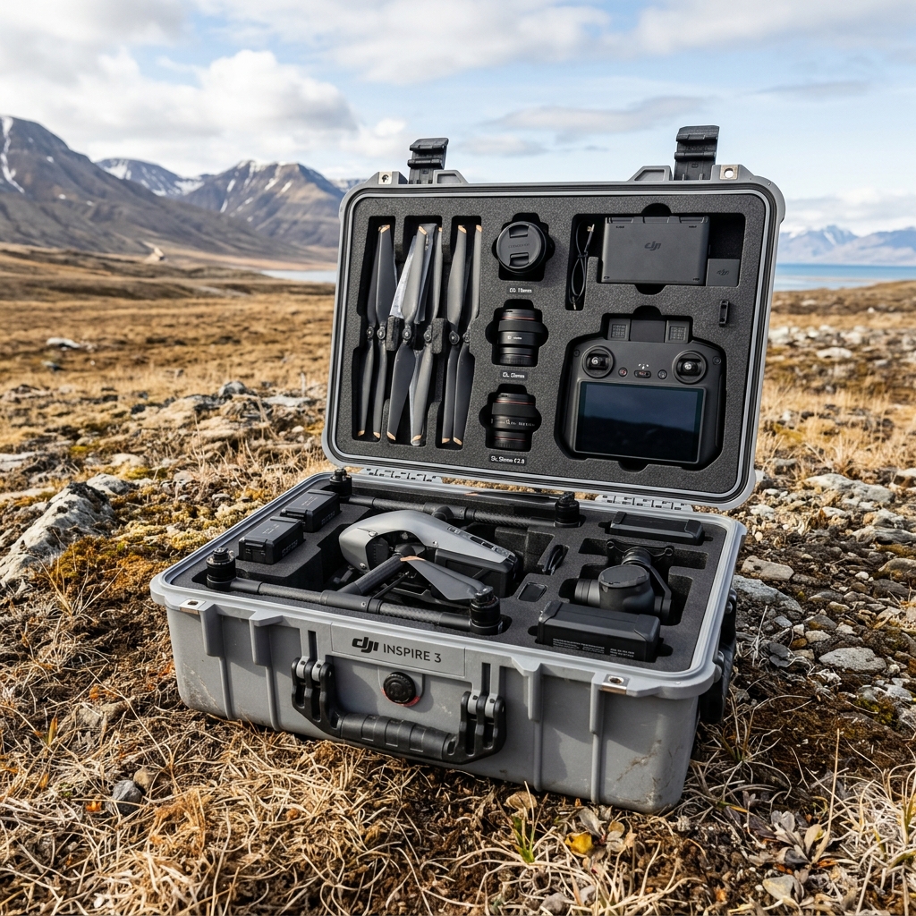
Cinema flight kit secured in custom military-grade transport case.
Vast, snow-covered ridges captured at twilight from high-altitude flight position.
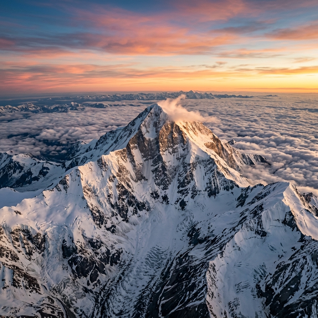
Panoramic view of the south face summit of Mount Denali looking north.
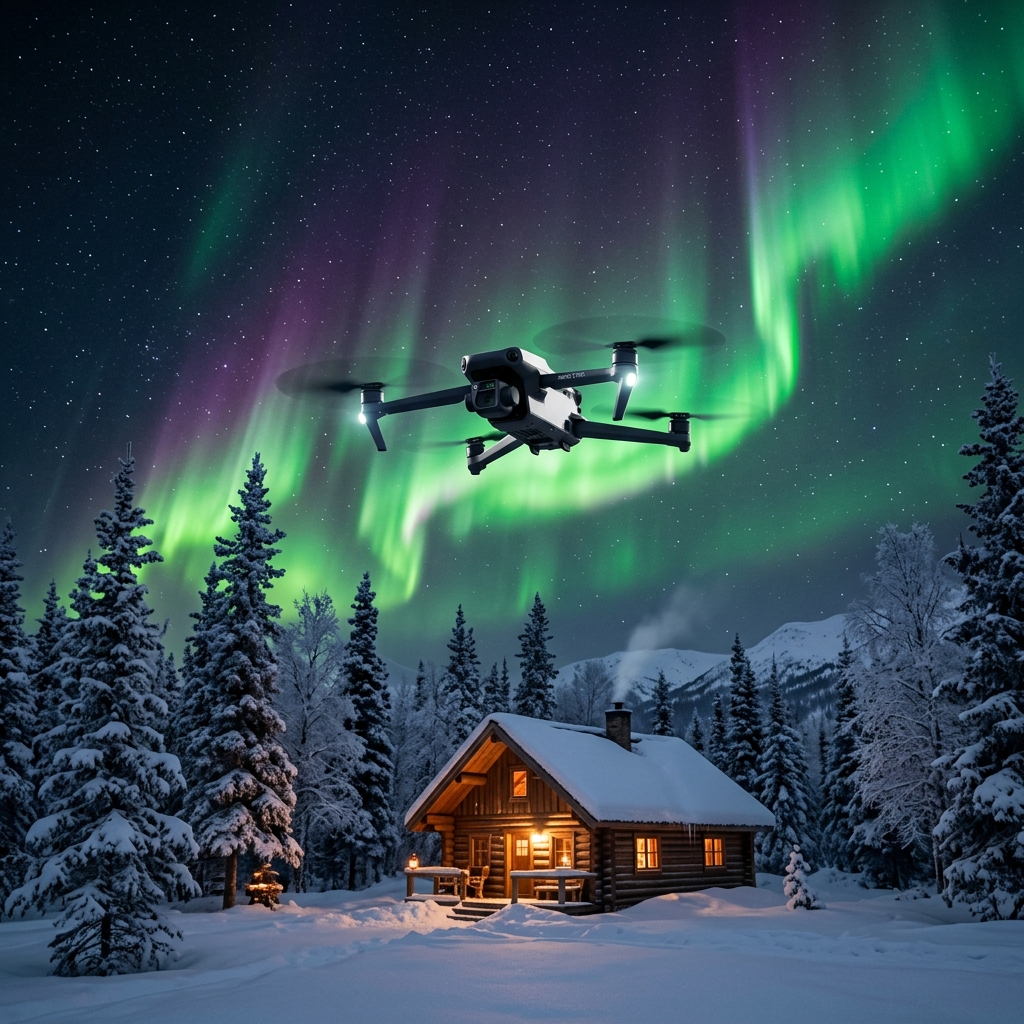
Vibrant green Northern Lights dancing over snow-covered Interior valley forests.
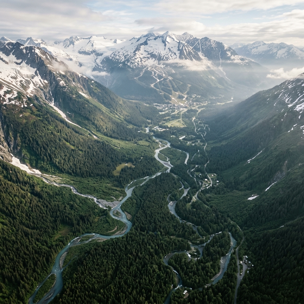
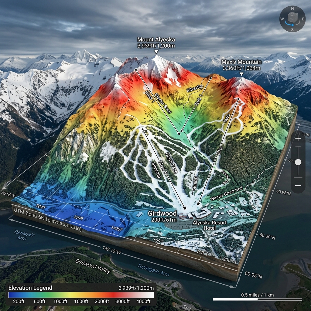
Vast high-altitude drone panorama of the Girdwood valley glacier corridor.
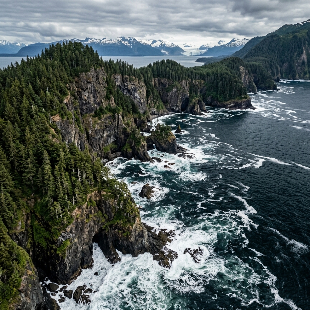
Rugged vertical cliffs dropping into deep ocean waters along Kachemak Bay.
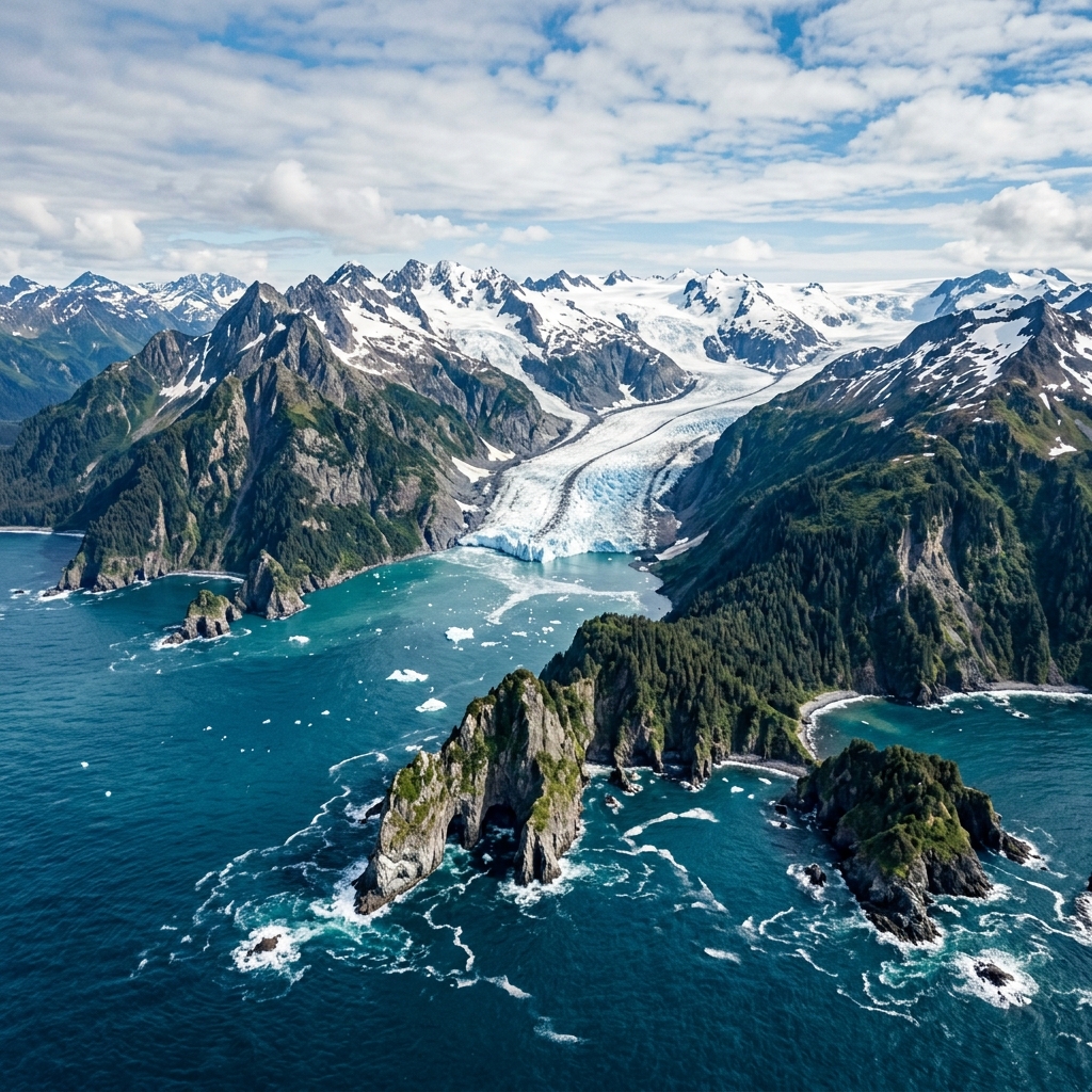
High-altitude view of blue ice fields carving down to dramatic ocean inlets.
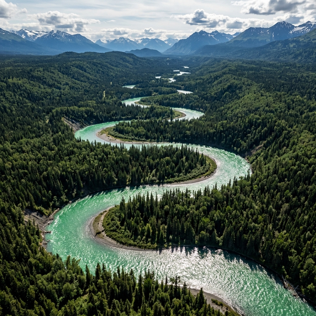
Top-down view of turquoise glacier water winding through green spruce banks.
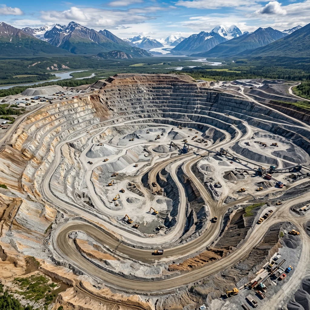
Wide angle overview of gravel excavation pit showing active haul roads.
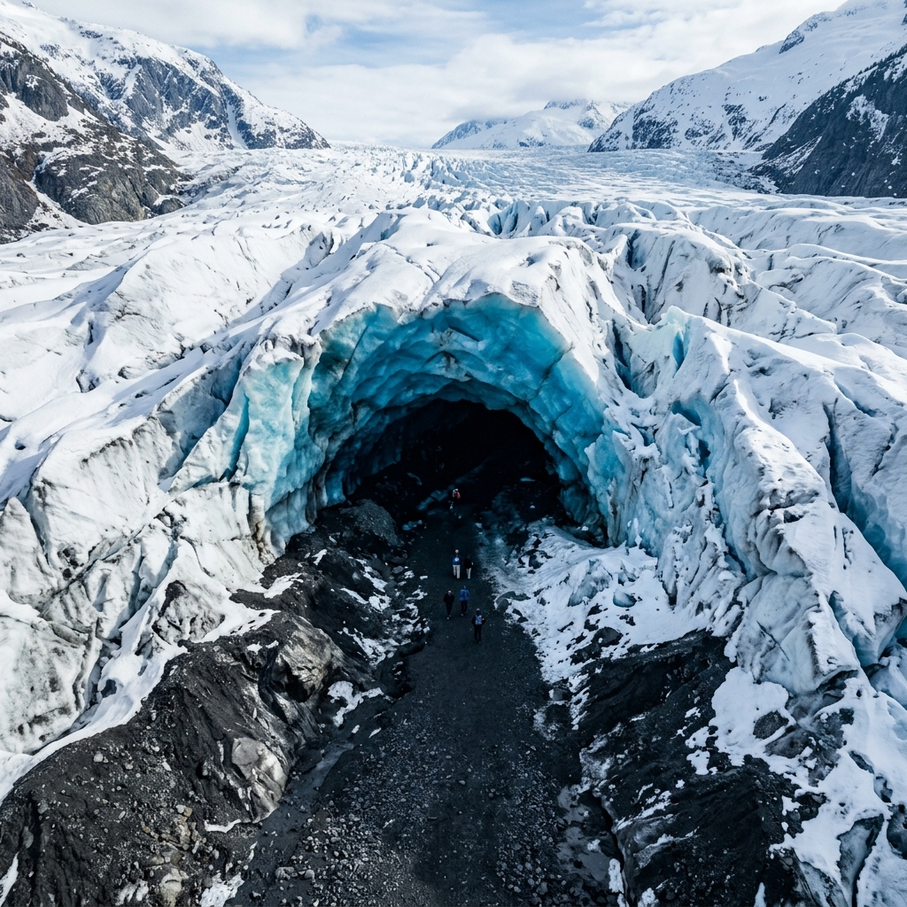
Deep blue ice cavern entrance detailed from close drone hover stance.
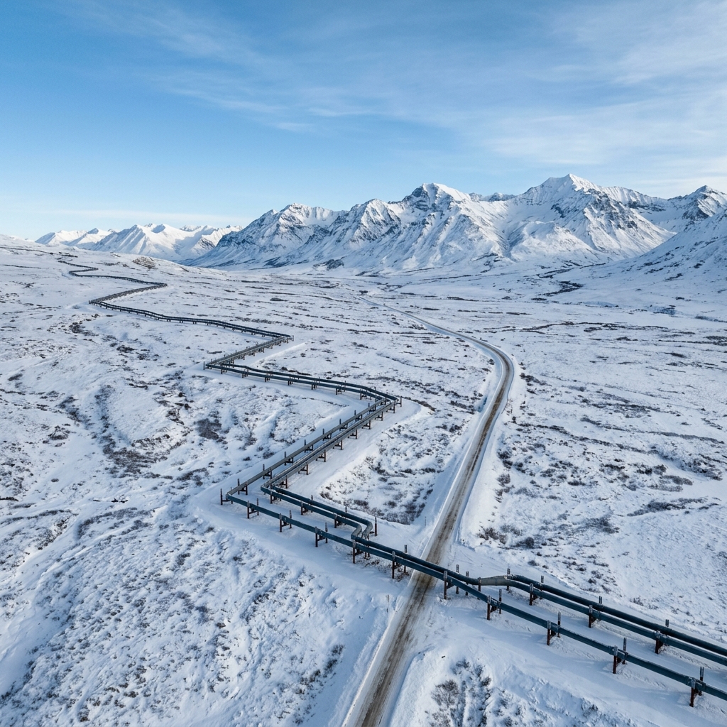
TAPS pipeline route cutting through autumn-colored interior tundra slopes.
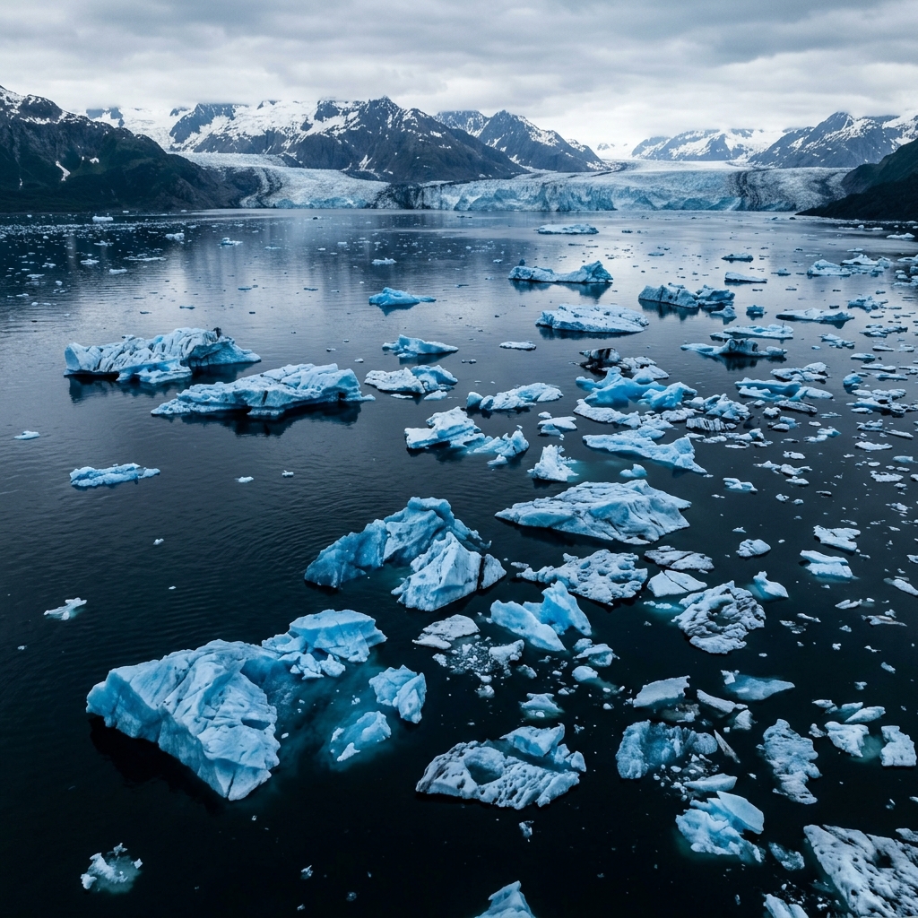
Floating blue icebergs drifting in glacial fjord waters captured from above.
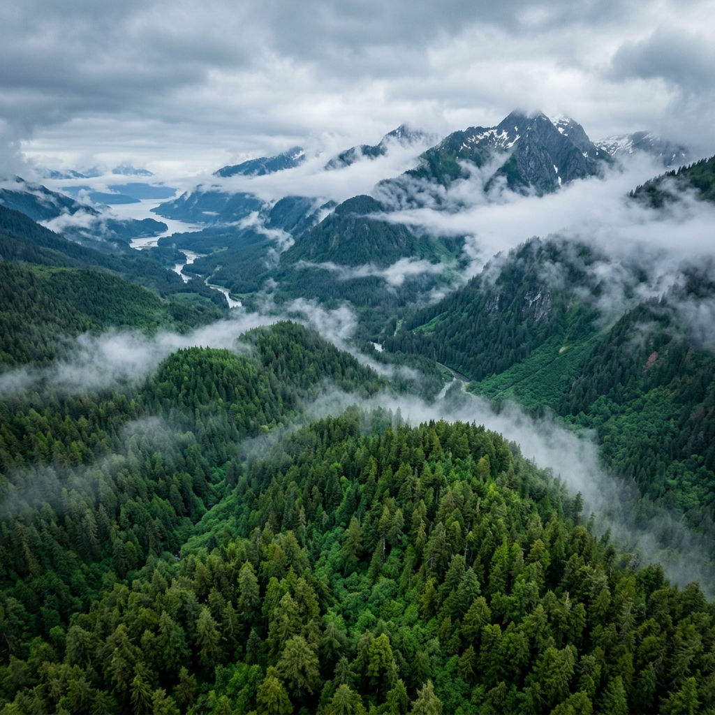
Mist-covered cedar and spruce canopy on remote Southeast Alaskan island shores.
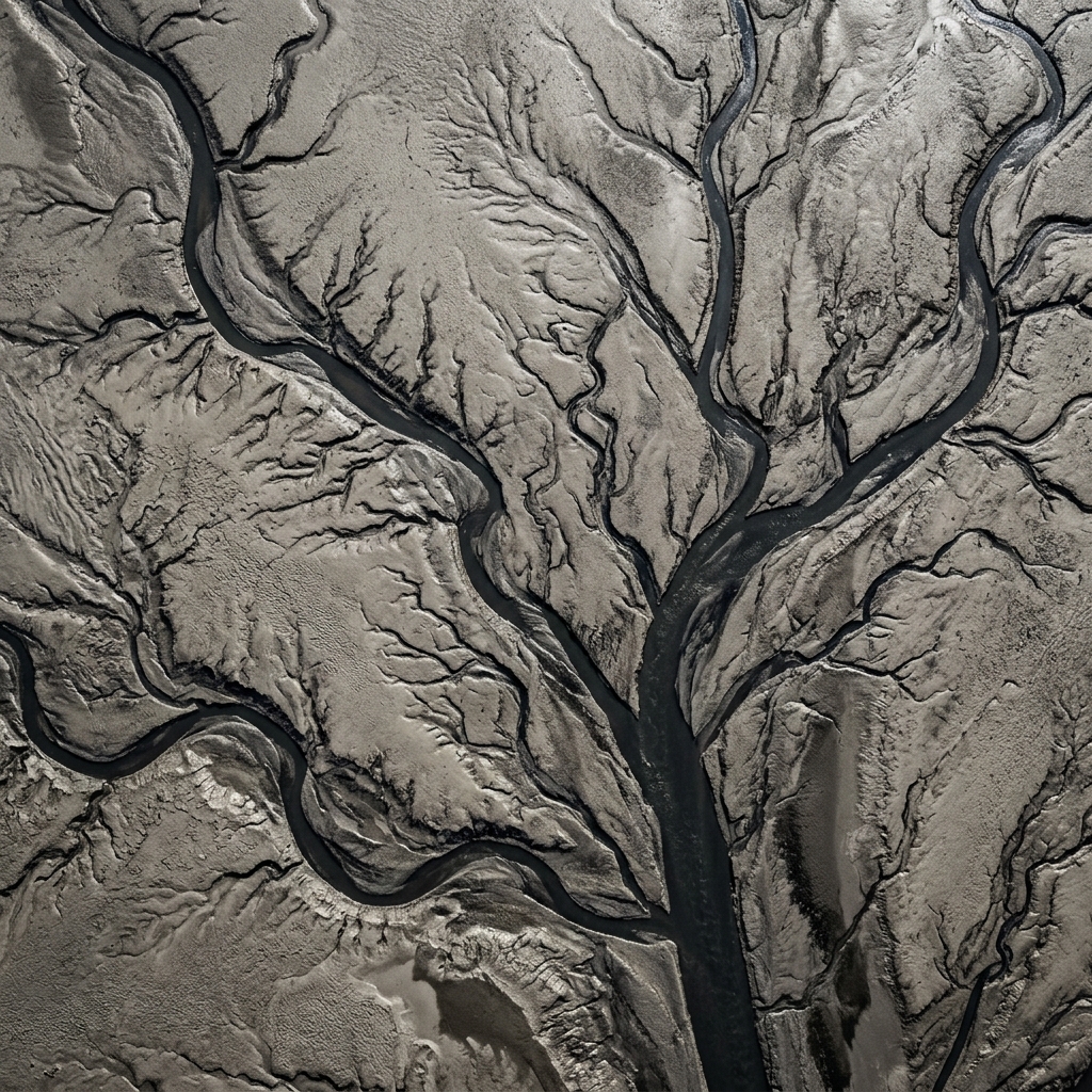
Abstract texture patterns formed by low tide silt channels in Turnagain Arm.

Vast industrial oil terminal and shipping facilities at the foot of steep snow peaks.
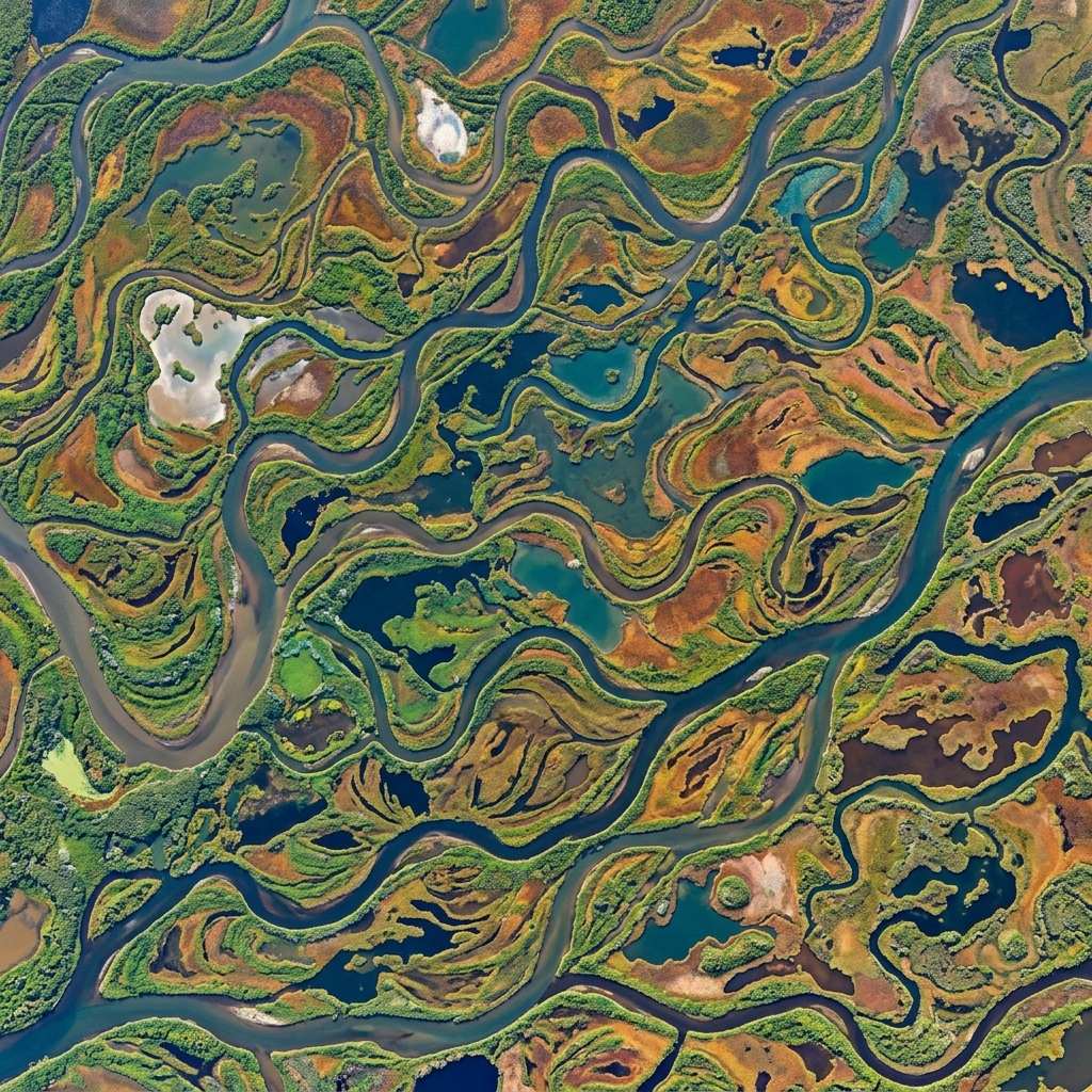
Complex delta river network carving through flat wetlands toward Bering Sea.
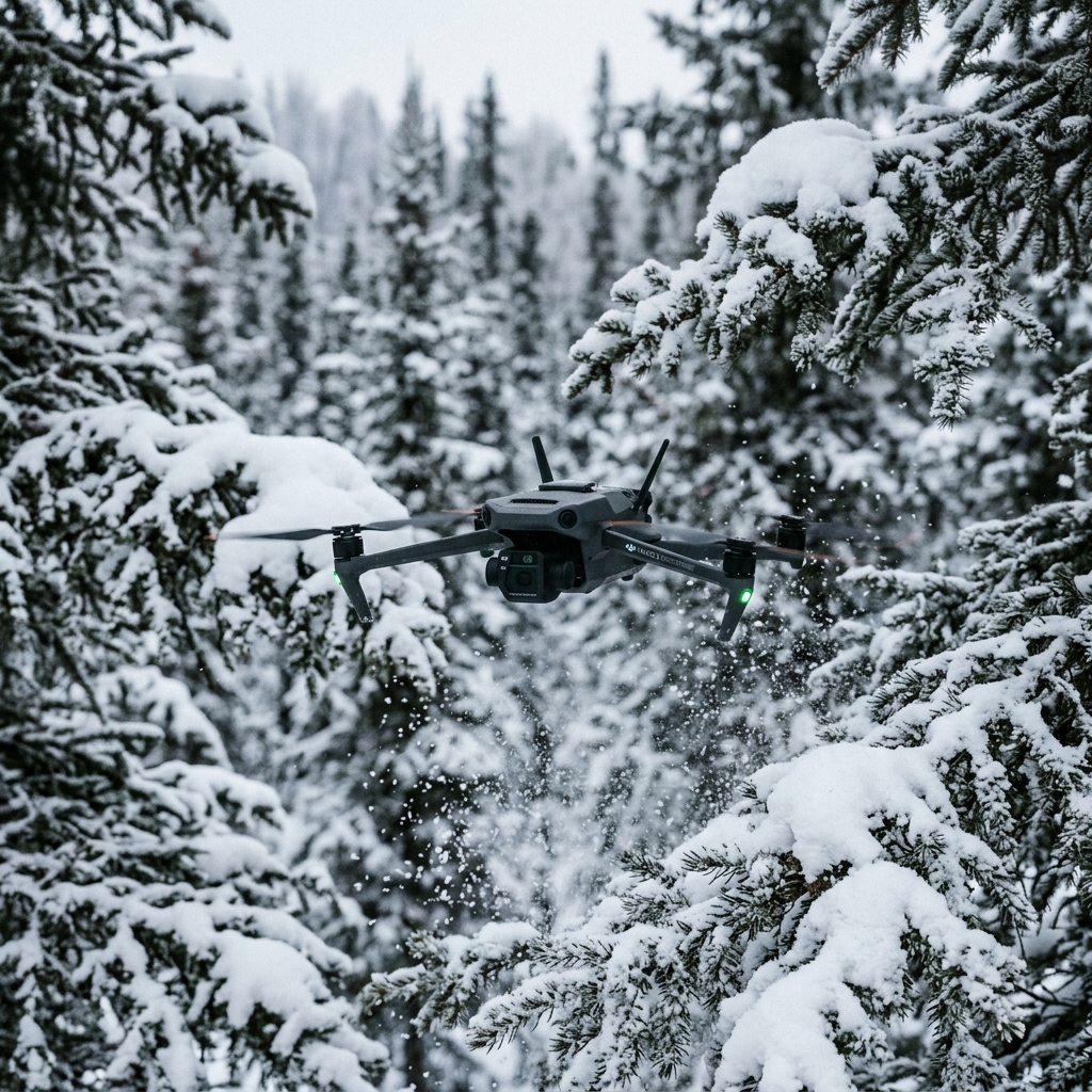
Compact drone hover path over snow-covered spruce trees in deep winter.
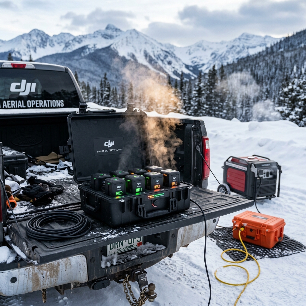
Heated charging bay housing multi-pack enterprise smart batteries for quick swaps.
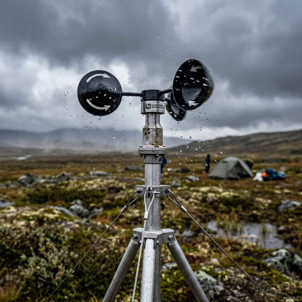
Pre-flight weather check measuring local wind speed parameters on ridge launch.
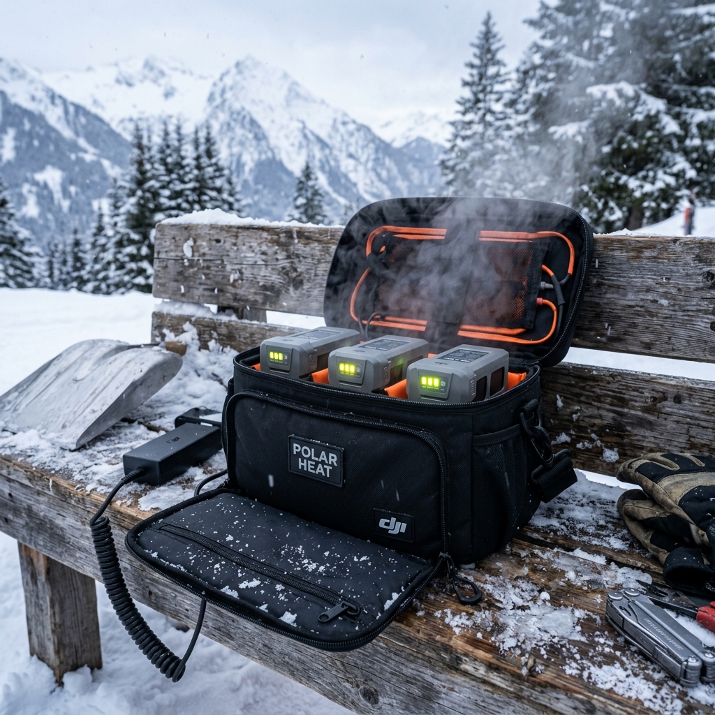
Heated thermal insulation pouch holding drone batteries at optimal launch temperatures.
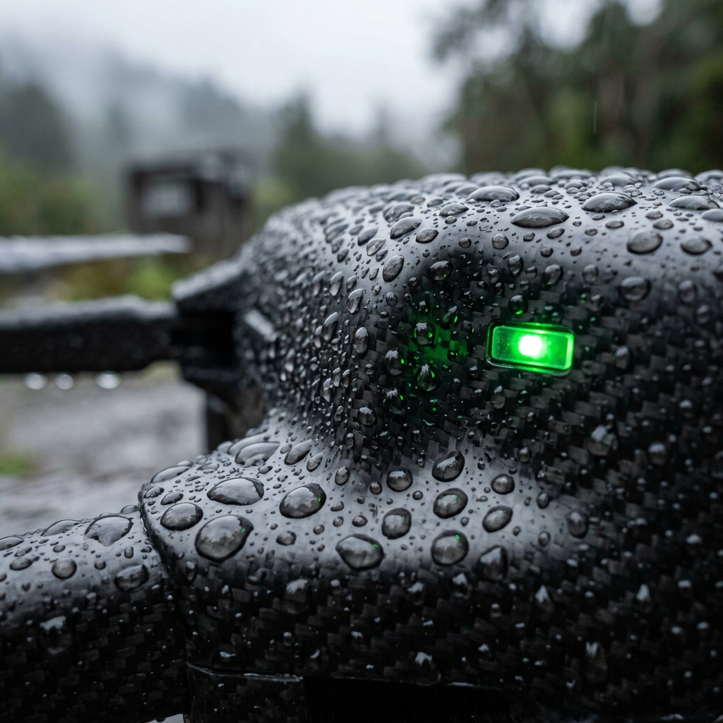
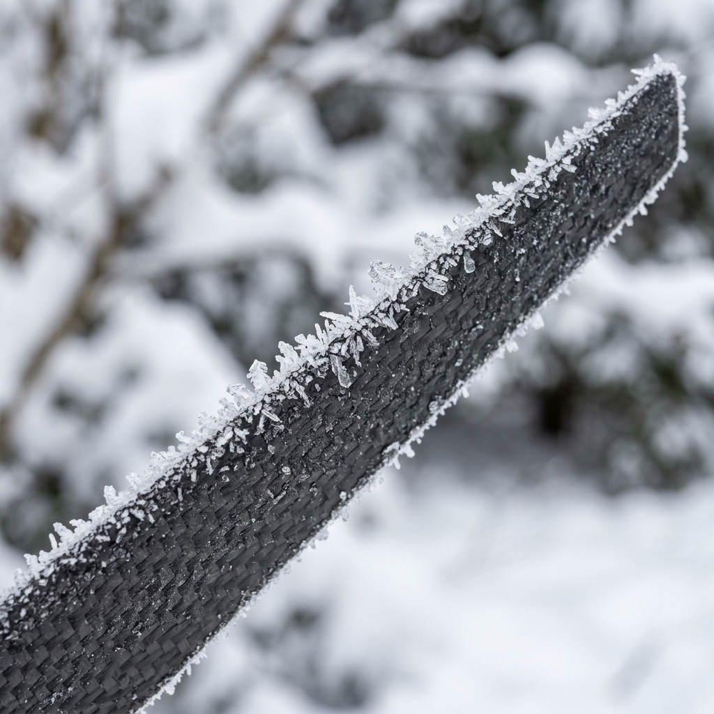
Close-up of freezing drizzle water droplets beaded on carbon drone arm weave.
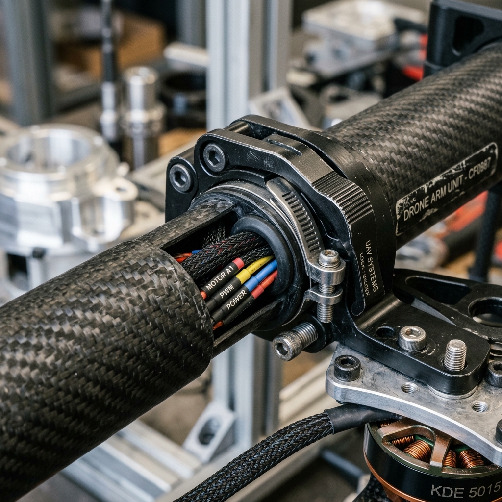
Close texture view showing the high-strength carbon fiber arm layout.
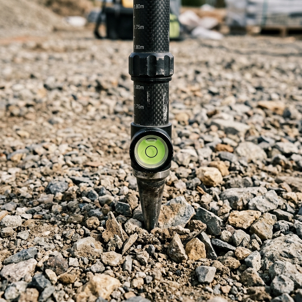
GNSS surveyor rover pole placed on marked site validation point.
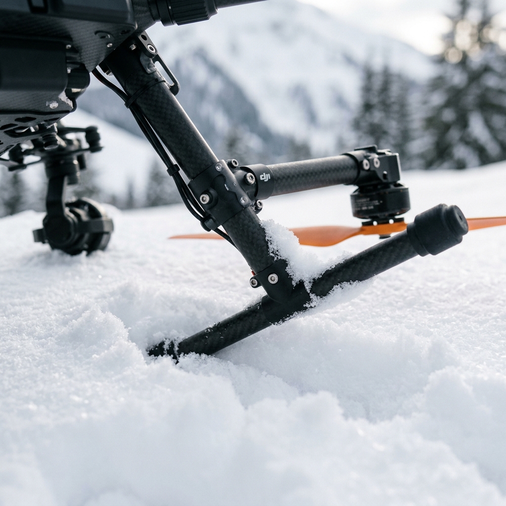
Drone landing gear leg rests on fresh arctic snow pack during winter checks.
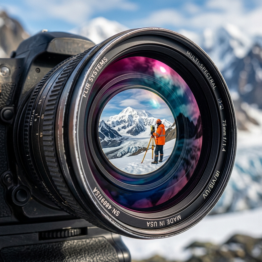
Visual coating glare patterns on high-end mapping camera glass.
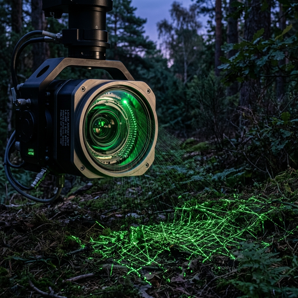
Visual calibration beam showing direct structural scanner alignment paths.
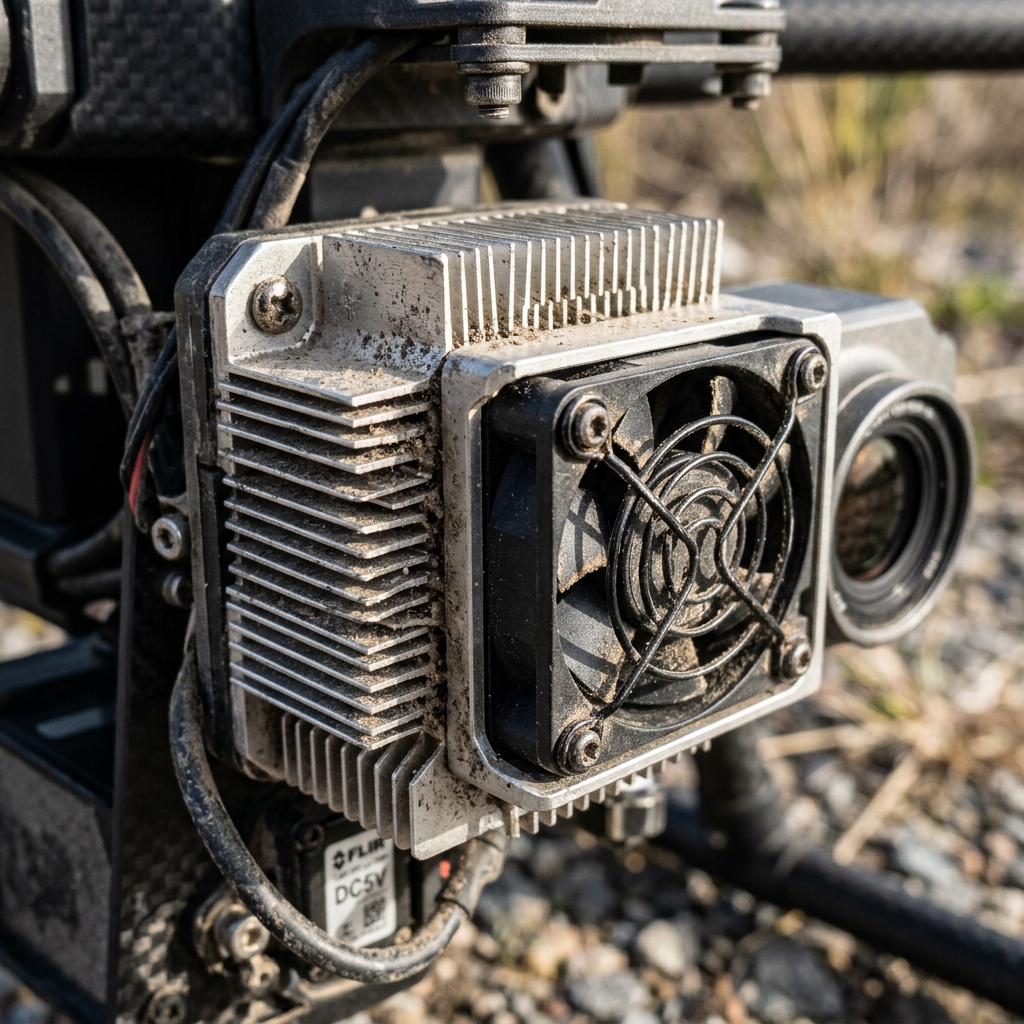
Anodized metal heatsink fins on mapping payload designed for optimal heat transfer.
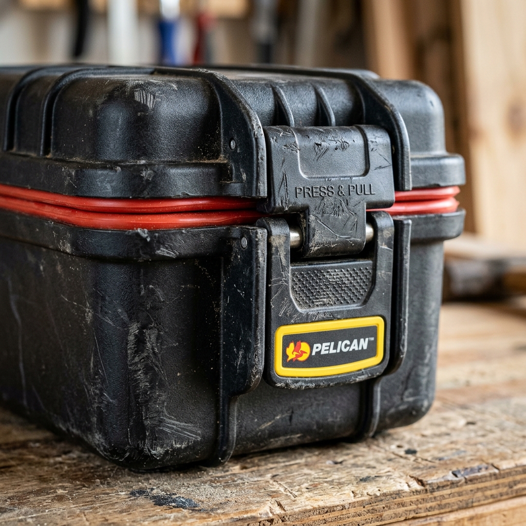
Rugged waterproof flight case latches locked shut on gravel landing site.
Drone cases lashed to snowmobile cargo deck preparing for wilderness trail access.
Micro-crystals of ice forming on propeller edges during high-humidity winter flight check.
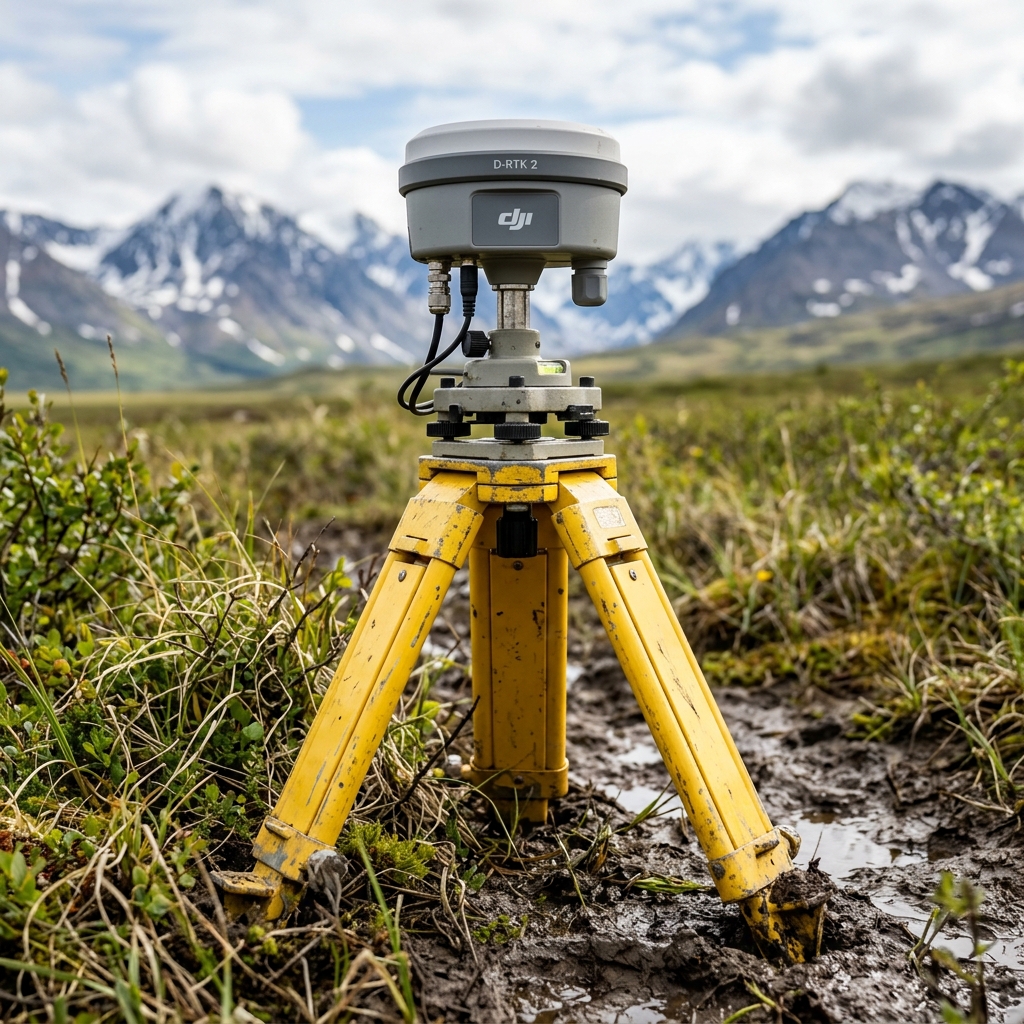
Survey-grade base station tripod set up on gravel hill coordinate point.
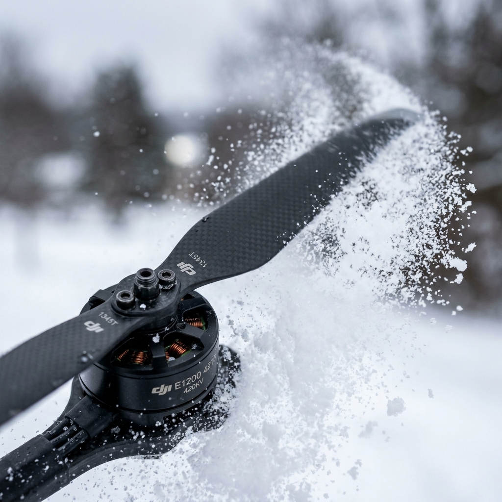
High-speed shutter speed freeze showing carbon props clearing snowflake paths.

Field laptop screen showing active flight plan coordinate paths in GIS.
We can package and deliver raw CAD topo maps, classified LAS point clouds, or radiometric thermal logs matching your specific engineering tools.
Discuss Your Next Mission →