Dillingham Drone Operations.
Mapping cannery docks, monitoring shoreline changes in Nushagak Bay, and providing high-resolution topography for airport runway expansion studies.
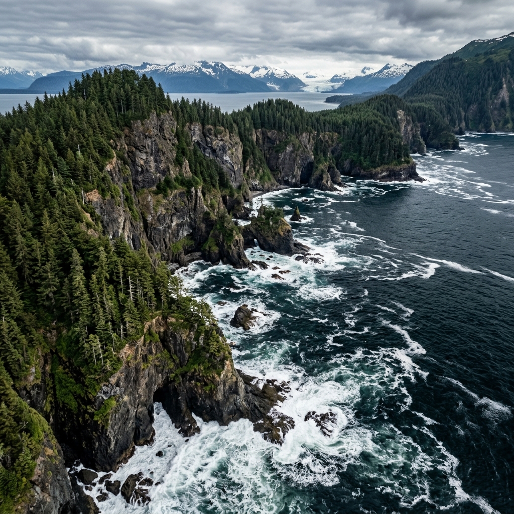 AERIAL VIEW // DILLINGHAM
 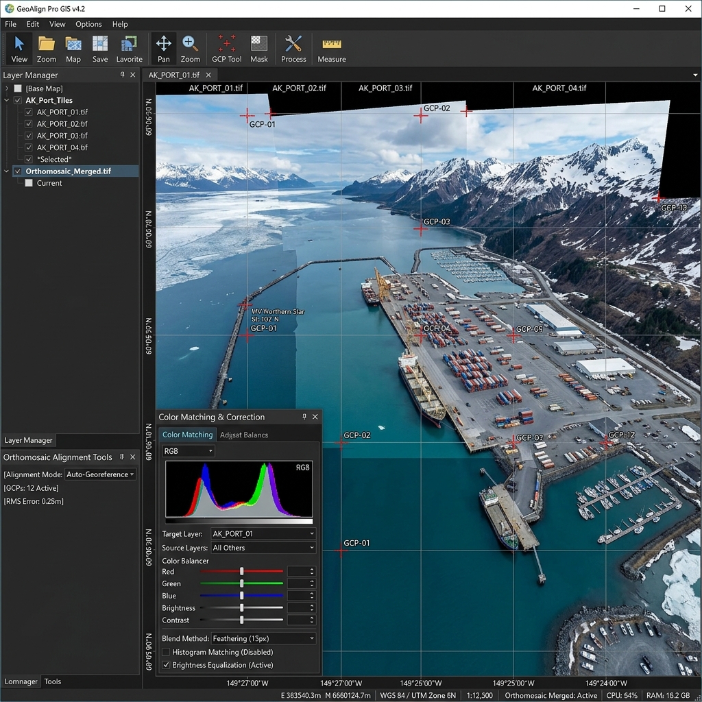 DATA DELIVERABLE // DILLINGHAM
 Location Data
Top Industries Served
- Marine & Fisheries
- Coastal Monitoring
- Engineering
Core Deliverables
- Orthomosaic Maps (3cm/px)
- LiDAR Terrain Profiles & DTMs
- Thermal Radiometric Scans
- 3D Point Clouds & Meshes
- 4K–8K Cinematic Media
- PDF Inspection Reports
- GIS / CAD-Ready Exports
Local Context
Why Dillingham missions require specialized expertise.
Operating commercial UAS in Dillingham and the broader Western & Arctic region demands experience with local weather patterns, terrain challenges, and regulatory nuances specific to Alaska's Class B/C/D airspace sectors. Our pilots have flown hundreds of missions in conditions that ground standard commercial operators.
Every Dillingham project begins with a custom site survey that accounts for local magnetic declination, wind corridor timing from mountain passes, and coordination with ATC when operating near controlled fields. This is not extra — it's standard for us.
Dillingham FAQ
01 Do you support Bristol Bay cannery inspections?
+
Do you support Bristol Bay cannery inspections?
Yes — visual and thermal scans of roof decks and dock pylons before the fishing season begins.
02 What is your turnaround time for deliverables?
+
What is your turnaround time for deliverables?
Standard deliverables (imagery, orthomosaics, inspection reports) are ready within 5 business days of flight. Rush 48-hour delivery is available for an additional fee.
Also Serving Nearby
Need a flight booked in Dillingham?
We specialize in complex, high-precision payloads and remote-site deployments across Western & Arctic Alaska.
COORD: 59.0397° N, 158.4575° W · FAA PART 107 COMPLIANT