Service · Pipeline Inspection
Pipeline Gas Leak Detection
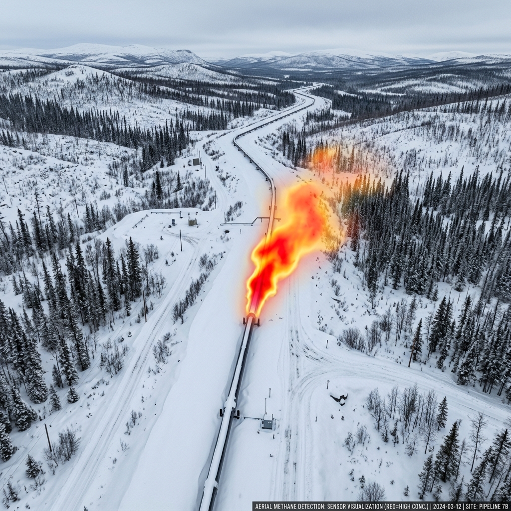
Airborne methane column mapping along pipeline corridors — replacing helicopter patrols with precision UAS platforms at a fraction of the cost.
Replace helicopter patrols with UAS precision
We mount gas-detection sensors on DJI Matrice 350 RTK platforms capable of corridor-following autonomous flight at low altitudes — creating a continuous, georeferenced methane concentration map along the full route. Results are exported as raster overlays compatible with GIS systems.
Operating costs are typically 70–85% lower than helicopter patrols for comparable route lengths, with superior detection sensitivity due to lower flight altitude and slower airspeed.
Cook Inlet Gathering Lines
North Slope Feeders
Kenai Peninsula Distribution
TAPS Segment Checks
Methane Column Mapping
CH4 / VOC Detection
Plan your pipeline survey
Remote corridor deployments across the North Slope, Kenai Peninsula, and Cook Inlet Basin. Mobilization within 7 business days.
Request Pipeline Survey →