LiDAR Drone Surveying Across Alaska
Ground-penetrating laser scanning that maps terrain through dense vegetation, snow, and complex industrial environments with centimeter accuracy.
What LiDAR delivers that photography can't
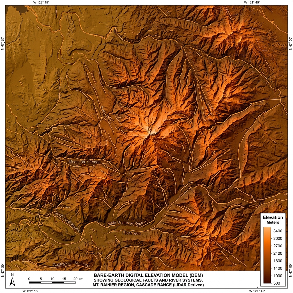
Standard photogrammetry produces excellent surface models — but it stops at the canopy. In Alaska's forested Interior, spruce-dominated hillsides, and wetland tundra environments, you need bare-earth data that penetrates vegetation to reveal the actual ground surface.
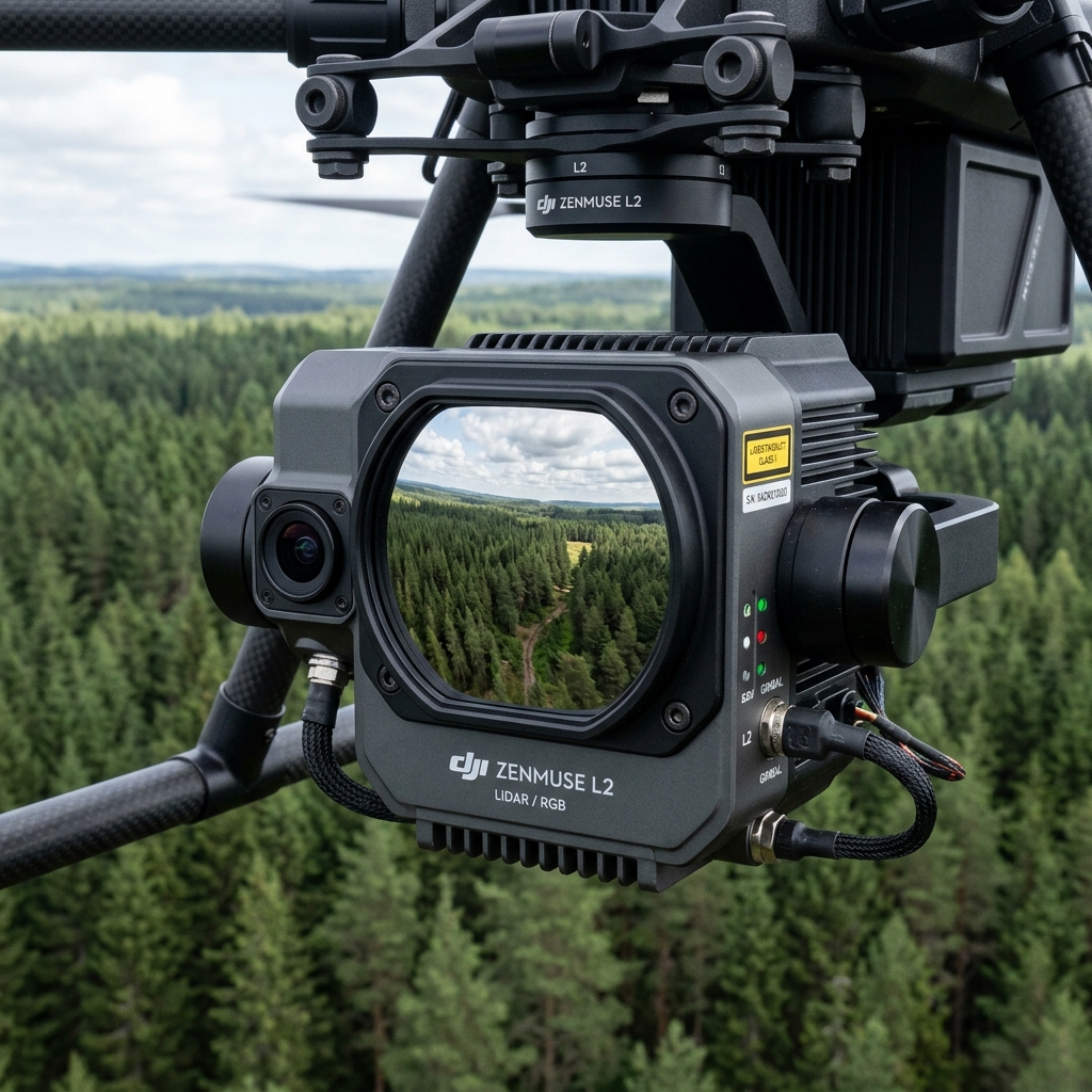
Our Zenmuse L2 and survey-grade LiDAR payloads on DJI M350 RTK platforms emit millions of laser pulses per second, recording multiple returns per shot. The result: a dense 3D point cloud filtered to ground-level, usable directly in ArcGIS, AutoCAD, and Civil 3D.
Deliverables
Ready to map with LiDAR?
We deploy to any accessible location across Alaska. Most projects mobilize within 5–7 business days.
Request LiDAR Survey →