Talkeetna Drone Operations.
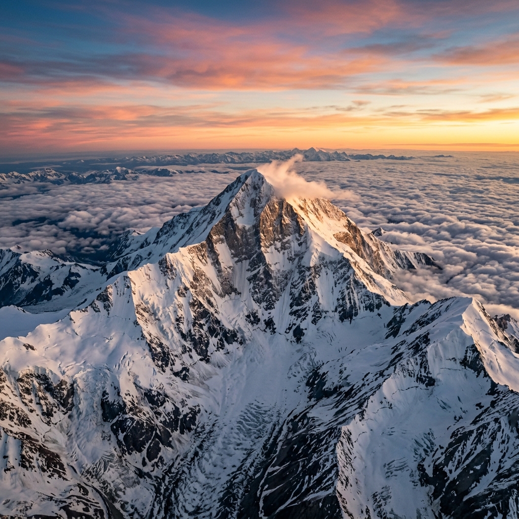
Providing river channel mapping for Susitna flood studies, wilderness logistics coordination support, and dramatic cinematic peak video of Mount Denali.
 AERIAL VIEW // TALKEETNA
 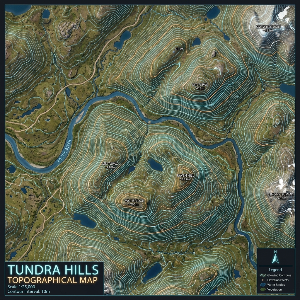 DATA DELIVERABLE // TALKEETNA
 Location Data
Top Industries Served
- Tourism
- Environmental
- Municipal Planning
Core Deliverables
- Orthomosaic Maps (3cm/px)
- LiDAR Terrain Profiles & DTMs
- Thermal Radiometric Scans
- 3D Point Clouds & Meshes
- 4K–8K Cinematic Media
- PDF Inspection Reports
- GIS / CAD-Ready Exports
Local Context
Why Talkeetna missions require specialized expertise.
Operating commercial UAS in Talkeetna and the broader Southcentral region demands experience with local weather patterns, terrain challenges, and regulatory nuances specific to Alaska's Class B/C/D airspace sectors. Our pilots have flown hundreds of missions in conditions that ground standard commercial operators.
Every Talkeetna project begins with a custom site survey that accounts for local magnetic declination, wind corridor timing from mountain passes, and coordination with ATC when operating near controlled fields. This is not extra — it's standard for us.
Talkeetna FAQ
01 Do you offer peak-filming around Denali?
+
Do you offer peak-filming around Denali?
We capture high-altitude imagery up to legal FAA airspace boundaries, with custom FAA flight approvals where required.
02 What is your turnaround time for deliverables?
+
What is your turnaround time for deliverables?
Standard deliverables (imagery, orthomosaics, inspection reports) are ready within 5 business days of flight. Rush 48-hour delivery is available for an additional fee.
Need a flight booked in Talkeetna?
We specialize in complex, high-precision payloads and remote-site deployments across Southcentral Alaska.
COORD: 62.3239° N, 150.1181° W · FAA PART 107 COMPLIANT