Moose Pass Drone Operations.
Inspecting mountain pass utility corridors, remote broadband towers, and railroad track alignment topography.
 AERIAL VIEW // MOOSE PASS
 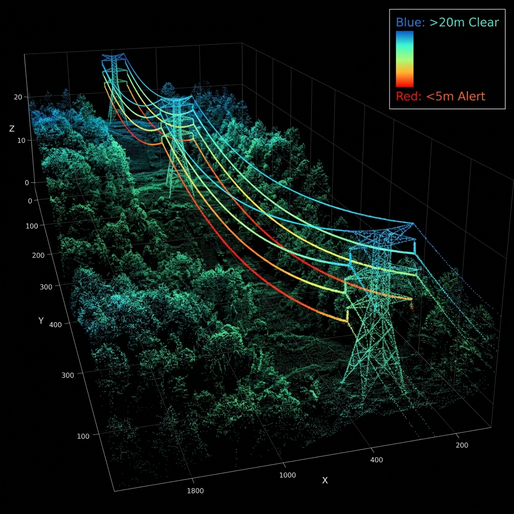 DATA DELIVERABLE // MOOSE PASS
 Location Data
Top Industries Served
- Utilities
- Railroad Infrastructure
- Tourism
Core Deliverables
- Orthomosaic Maps (3cm/px)
- LiDAR Terrain Profiles & DTMs
- Thermal Radiometric Scans
- 3D Point Clouds & Meshes
- 4K–8K Cinematic Media
- PDF Inspection Reports
- GIS / CAD-Ready Exports
Local Context
Why Moose Pass missions require specialized expertise.
Operating commercial UAS in Moose Pass and the broader Kenai Peninsula region demands experience with local weather patterns, terrain challenges, and regulatory nuances specific to Alaska's Class B/C/D airspace sectors. Our pilots have flown hundreds of missions in conditions that ground standard commercial operators.
Every Moose Pass project begins with a custom site survey that accounts for local magnetic declination, wind corridor timing from mountain passes, and coordination with ATC when operating near controlled fields. This is not extra — it's standard for us.
Moose Pass FAQ
01 Can you fly near the Seward Highway?
+
Can you fly near the Seward Highway?
Yes, ensuring all operations do not hover directly over active traffic without appropriate FAA waivers.
02 What is your turnaround time for deliverables?
+
What is your turnaround time for deliverables?
Standard deliverables (imagery, orthomosaics, inspection reports) are ready within 5 business days of flight. Rush 48-hour delivery is available for an additional fee.
Also Serving Nearby
Need a flight booked in Moose Pass?
We specialize in complex, high-precision payloads and remote-site deployments across Kenai Peninsula Alaska.
COORD: 60.4869° N, 149.3725° W · FAA PART 107 COMPLIANT